Russia · Duomo di lava
Shisheika
- Tipo
- Duomo di lava
- Altitudine
- 355 m
- Ultima eruzione
- -2240
- Tipo
- Duomo di lava
- Paese
- Russia
- Regione
- Pacifico nord-occidentale / Central Kamchatka Volcanic Arc
- Altitudine
- 355 m
- Coordinate
- 57.153, 161.090
- Ultima eruzione
- -2240
- Contesto tettonico
- Zona di subduzione / Crosta continentale (> 25 km)
- Forma vulcanica
- Minore (basaltico)
- Roccia principale
- Andesite / Andesite basaltica
Sintesi geologica
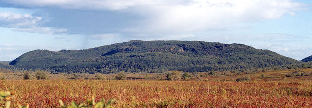
The andesitic Shisheika lava dome lies far to the west of the crest of the Sredinny Range, near the mouth of the Shishei River. The dome and associated lava flows were erupted about 4,200 years ago during one of several Holocene eruptions on the lower flanks of the Sredinny Range.
Storia delle eruzioni
1 registrateGlossarioRiepilogo (VEI nel tempo)
Fai clic su una barra per vedere le singole eruzioni · Usa le frecce per spostarti tra le barre, Invio per aprire
Cronologia dettagliata
- 2240 a.C.VEI ?Stima geologica2240 a.C. – fine sconosciuta
Vulcani nelle vicinanze
Link esterni
- Non ancora su Wikipedia (Italiano). Puoi contribuire su Wikidata.
- Pagina originale Smithsonian GVP
⚠ Solo a scopo informativo. Non adatto a situazioni di emergenza.