Russia · Campo vulcanico
Sedankinsky
Sedanka Lava Field
- Tipo
- Campo vulcanico
- Altitudine
- 1399 m
- Ultima eruzione
- -7050
- Tipo
- Campo vulcanico
- Paese
- Russia
- Regione
- Pacifico nord-occidentale / Central Kamchatka Volcanic Arc
- Altitudine
- 1399 m
- Coordinate
- 57.317, 160.067
- Ultima eruzione
- -7050
- Contesto tettonico
- Zona di subduzione / Crosta continentale (> 25 km)
- Forma vulcanica
- Gruppo vulcanico
- Roccia principale
- Basalto / Picrobasalto
Sintesi geologica
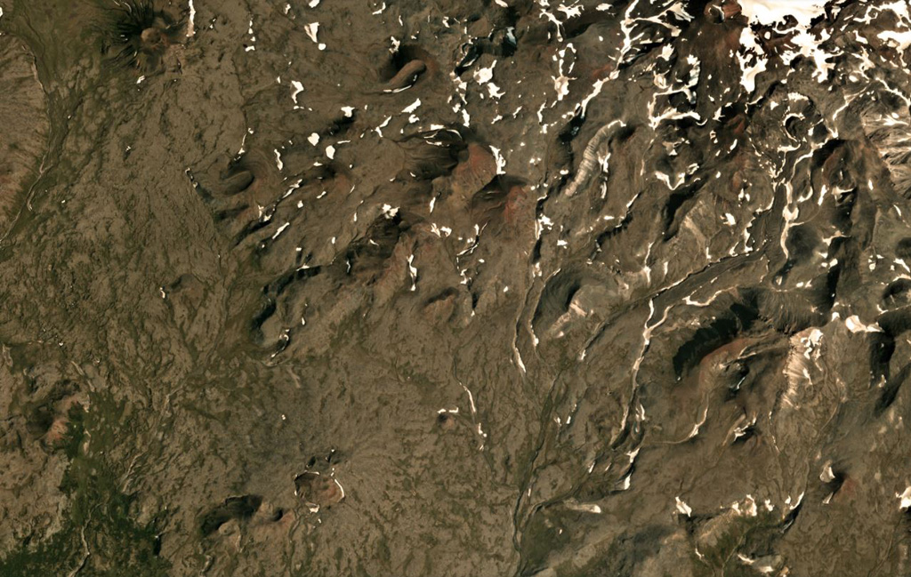
The Sedanka lava field (Sedanka Dol) is located immediately west of the Sredinny Range axis and is formed by dominantly mafic lavas from small strato- and shield-like volcanoes, along with more than 100 cinder and lava cones of the late Pleistocene-Holocene age. For this compilation the volcanic field area is considered to be up to 10 km wide and stretching about 25 km from south of Gorny Institute volcano towards the NNW between Tuzovsky volcano to the SW and Titila to the NE. Other workers (eg. Nekrylov et al., 2015) define the field to include the eight large edifices from Terpuk on the SW to Shishel on the NE.
Storia delle eruzioni
1 registrateGlossarioRiepilogo (VEI nel tempo)
Fai clic su una barra per vedere le singole eruzioni · Usa le frecce per spostarti tra le barre, Invio per aprire
Cronologia dettagliata
- 7050 a.C. (±1000 anni)VEI ?Stima geologica7050 a.C. – fine sconosciuta
Vulcani nelle vicinanze
Link esterni
- Non ancora su Wikipedia (Italiano). Puoi contribuire su Wikidata.
- Pagina originale Smithsonian GVP
⚠ Solo a scopo informativo. Non adatto a situazioni di emergenza.