Formazioni sottomarine · Frattura eruttiva
Cleft Segment
- Tipo
- Frattura eruttiva
- Altitudine
- 2140 m (sottomarino)
- Ultima eruzione
- 1986
- Tipo
- Frattura eruttiva
- Paese
- Formazioni sottomarine
- Regione
- Pacifico orientale / Northeast Pacific Rifts Volcanic Province
- Altitudine
- 2140 m (sottomarino)
- Coordinate
- 44.830, -130.300
- Ultima eruzione
- 1986
- Contesto tettonico
- Zona di rift / Crosta oceanica (< 15 km)
- Forma vulcanica
- Gruppo vulcanico
- Roccia principale
- Basalto / Picrobasalto
Sintesi geologica
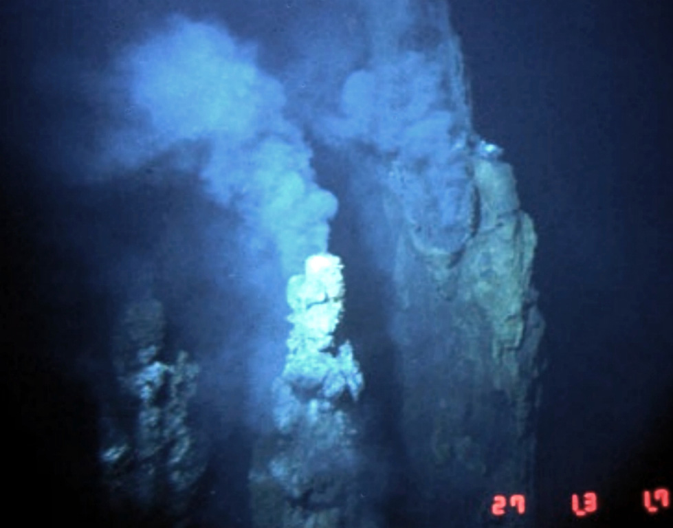
The Cleft Segment, the southernmost of the Juan de Fuca Ridge, lies immediately north of the Blanco Fracture Zone. The 80-km-long segment is named for a nearly continuous 10-km-long, 30-50 m wide cleft at its southern end. Two episodes of seafloor spreading were documented along the northern part of the segment in the 1980's. Bathymetric surveys indicated that a series of discontinuous pillow-lava mounds were extruded along a 17-km-long fissure between 1981 and 1987. The eruption possibly coincided with emission of a large plume of hot mineral-laden water in 1986. The location is at a depth of about 2,300 m near the northern edge of the Cleft segment and the southern end of the Vance segment of the Juan de Fuca Ridge, about 500 km W of the central Oregon coast. Youthful sheet-lava flows immediately south of the pillow lavas were estimated to be only a few years older.
Storia delle eruzioni
3 registrateGlossarioCronologia dettagliata
- 1986VEI 0Osservata1986-08-16 – fine sconosciutaN Cleft Segment, S Juan de Fuca Ridge
- 1982VEI 0Osservata1982-07-02 – fine sconosciutaN Cleft Segment, S Juan de Fuca Ridge
- 270 a.C.VEI 0Stima geologica270 a.C. – fine sconosciutaS Cleft Segment, S Juan de Fuca Ridge
Vulcani nelle vicinanze
Link esterni
- Non ancora su Wikipedia (Italiano). Puoi contribuire su Wikidata.
- Pagina originale Smithsonian GVP
⚠ Solo a scopo informativo. Non adatto a situazioni di emergenza.