Ecuador · Stratovulcano
Aliso
- Tipo
- Stratovulcano
- Altitudine
- 4267 m
- Ultima eruzione
- -2450
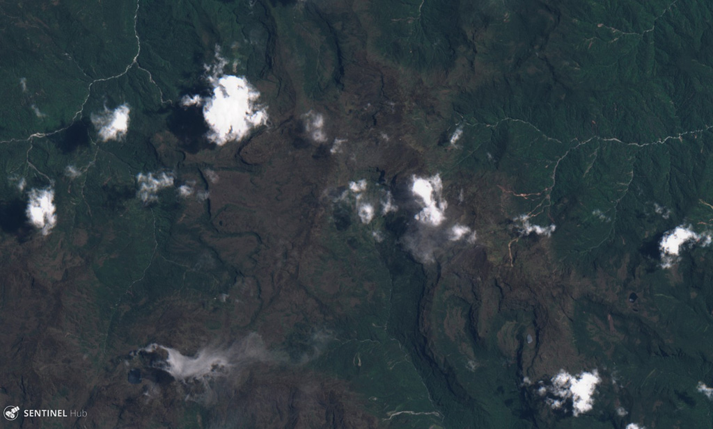
- Tipo
- Stratovulcano
- Paese
- Ecuador
- Regione
- Sud America / Northern Andean Volcanic Arc
- Altitudine
- 4267 m
- Coordinate
- -0.530, -78.000
- Ultima eruzione
- -2450
- Contesto tettonico
- Zona di subduzione / Crosta continentale (> 25 km)
- Forma vulcanica
- Composito
- Roccia principale
- Andesite / Andesite basaltica
Sintesi geologica
The Aliso volcanic complex lies at the eastern foot of the Ecuadorian Andes, east of Antisana volcano and SW of the town of Baeza. The largely unexplored complex contains an arcuate summit ridge on the west with older andesitic lava flows and tundra-like vegetation, and rhyolitic and dacitic lava domes in a wet cloud-forest environment on the lower eastern flanks. The Pumayacu center on the SE flank contains several lava domes along a NNE axis parallel to the Andean Thrust Fault System (TFZ). Morphologically young andesitic lava flows occur along the flat-topped ridge above Baeza town. The Pumayacu center erupted pyroclastic-flow deposits of late Pleistocene and Holocene age. One pyroclastic-flow deposit was dated at about 4,400 BP, and a pumice lapilli layer overlies a ceramic-rich cultural horizon thought to be about 2,000 years old.
Sintesi da Wikipedia
Riassunto in ingleseAliso, also known as Pan de Azúcar, is a 3,482-metre-high (11,424 ft) volcano in the Ecuadorian Andes to the east of Antisana volcano. The complex contains a semicircular western ridge and lava domes. The volcano has erupted rhyolites and dacites and some andesitic lava flows on a ridge above Baeza. It is covered with tundra and cloud forests. At least two eruptions of Pumayacu occurred during the Holocene; one dated 4400 years ago and another's lapilli deposits overlie a cultural horizon 2000 years old. Older eruptions have been dated at 1.15 ± 0.07 Ma and are of high-potassium types. They compromise typical arc-derived lavas with fractional crystallization and other differentiation processes.
Wikipedia · CC BY-SA · Leggi l'articolo completo →
Storia delle eruzioni
1 registrateGlossarioCronologia dettagliata
- 2450 a.C.VEI ?Stima geologica2450 a.C. – fine sconosciutaPumayucu
Vulcani nelle vicinanze
Link esterni
⚠ Solo a scopo informativo. Non adatto a situazioni di emergenza.