Islanda · Stratovulcano
Fremri-Námur
Fremrinamar
- Tipo
- Stratovulcano
- Altitudine
- 970 m
- Ultima eruzione
- -1200
- Tipo
- Stratovulcano
- Paese
- Islanda
- Regione
- Oceano Atlantico / Iceland Neovolcanic Rift Volcanic Province
- Altitudine
- 970 m
- Coordinate
- 65.416, -16.666
- Ultima eruzione
- -1200
- Contesto tettonico
- Zona di rift / Crosta oceanica (< 15 km)
- Forma vulcanica
- Composito
- Roccia principale
- Basalto / Picrobasalto
Sintesi geologica
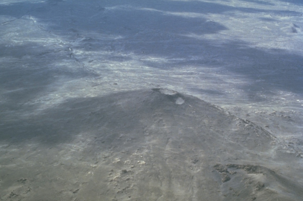
Originale in ingleseThe Fremrinámar volcanic system, N of Askja and SE of Myvatn lake, includes the central Ketildyngja shield volcano and the Sveinar fissure swarm that extends 130 km to the north coast of Iceland.
Estratto dal Global Volcanism Program, Smithsonian Institution · Leggi la sintesi completa sul GVP →
Sintesi da Wikipedia
Fremri-Námur è un sistema vulcanico situato nella regione dell'Austurland, nella parte nord-orientale dell'Islanda.
Wikipedia · CC BY-SA · Leggi l'articolo completo →
Storia delle eruzioni
4 registrateGlossarioSintesi del registro
- Eruzioni confermate
- 4
- Eruzioni incerte
- 0
- Arco del registro confermato
- 4050 a.C. (±1050 anni) – 1200 a.C.
- Eruzione confermata più grande
- VEI 0 (2300 a.C., la più recente di 2)
- Eruzioni confermate dal 1900
- 0
Riepilogo (VEI nel tempo)
Fai clic su una barra per vedere le singole eruzioni · Usa le frecce per spostarti tra le barre, Invio per aprire
Cronologia dettagliata
- 1200 a.C.VEI ?Stima geologica1200 a.C. – fine sconosciutaKraeduborgir (Burfellshraun)
- 2300 a.C.VEI 0Stima geologica2300 a.C. – fine sconosciutaKetildyngja
- 4000 a.C.VEI 0Stima geologica4000 a.C. – fine sconosciutaKerlingardyngja
- 4050 a.C. (±1050 anni)VEI ?Stima geologica4050 a.C. – fine sconosciutaSveinar (Rauduborgir) fissure
Vulcani nelle vicinanze
Link esterni
⚠ Solo a scopo informativo. Non adatto a situazioni di emergenza.