ドイツ · 火山原
West Eifel Volcanic Field
- タイプ
- 火山原
- 標高
- 600m
- 最終噴火
- -8300年
- タイプ
- 火山原
- 国
- ドイツ
- 地域
- ヨーロッパ / Central European Volcanic Province
- 標高
- 600m
- 座標
- 50.170, 6.850
- 最終噴火
- -8300年
- テクトニクス環境
- リフト帯 / 大陸地殻 (> 25 km)
- 火山地形
- 火山群
- 主要岩石
- フォイダイト
地質学的概要
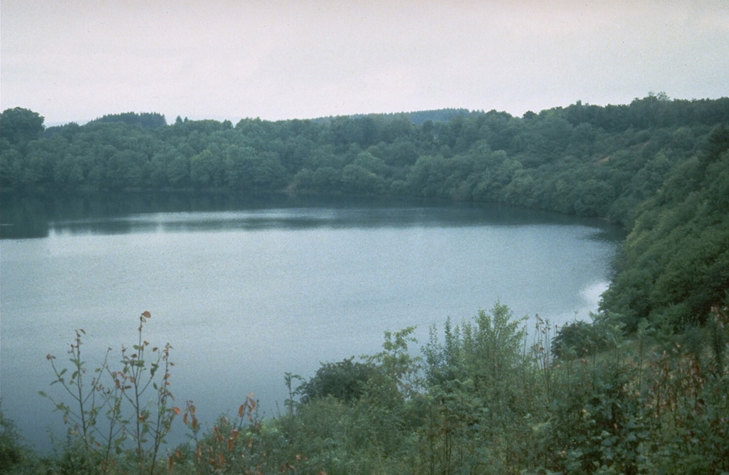
The West Eifel Volcanic Field of western Germany, SW of the city of Bonn, is a dominantly Pleistocene group of 240 scoria cones, maars, and small stratovolcanoes covering an area of about 600 km2. The smaller, but better known, East Eifel Volcanic Field is about 40 km NE. Individual vents spread across a broad NW-SE-trending area extending about 50 km from the towns of Ormont on the NW to Bad Bertrich on the SE. Eruptions originated from a mantle plume through Devonian sedimentary and metamorphic rocks. Two-thirds of the volcanic centers in the field are scoria cones; lava flows have been produced from about half of them. About 30% of the centers are maars or tuff rings, many of which are occupied by lakes. About 230 eruptions have occurred during the past 730,000 years. The latest eruptions formed the Ulmener, Pulvermaar, and Strohn maars around the end of the Pleistocene and the beginning of the Holocene.
噴火履歴
2件の記録用語集詳細タイムライン
- 紀元前 8300年 (±300年)VEI ?地質学的推定紀元前 8300 ~ 終了日不明Strohn, Pulvermaar
- 紀元前 8740年 (±150年)VEI ?地質学的推定紀元前 8740 ~ 終了日不明Ulmener Maar
近くの火山
外部リンク
- 日本語版Wikipediaには未登録です。Wikidataで作成できます。
- Smithsonian GVP 原典ページ
⚠ 参考情報です。緊急対応には使用しないでください。