アルメニア · 火砕丘
Dar-Alages
Vaiyots-Sar
- タイプ
- 火砕丘
- 標高
- 2575m
- 最終噴火
- -2000年
- タイプ
- 火砕丘
- 国
- アルメニア
- 地域
- アラビア・中央アジア / Caucasus Volcanic Province
- 標高
- 2575m
- 座標
- 39.797, 45.497
- 最終噴火
- -2000年
- テクトニクス環境
- プレート内部 / 大陸地殻 (> 25 km)
- 火山地形
- 小規模 (玄武岩質)
- 主要岩石
- 安山岩 / 玄武岩質安山岩
地質学的概要
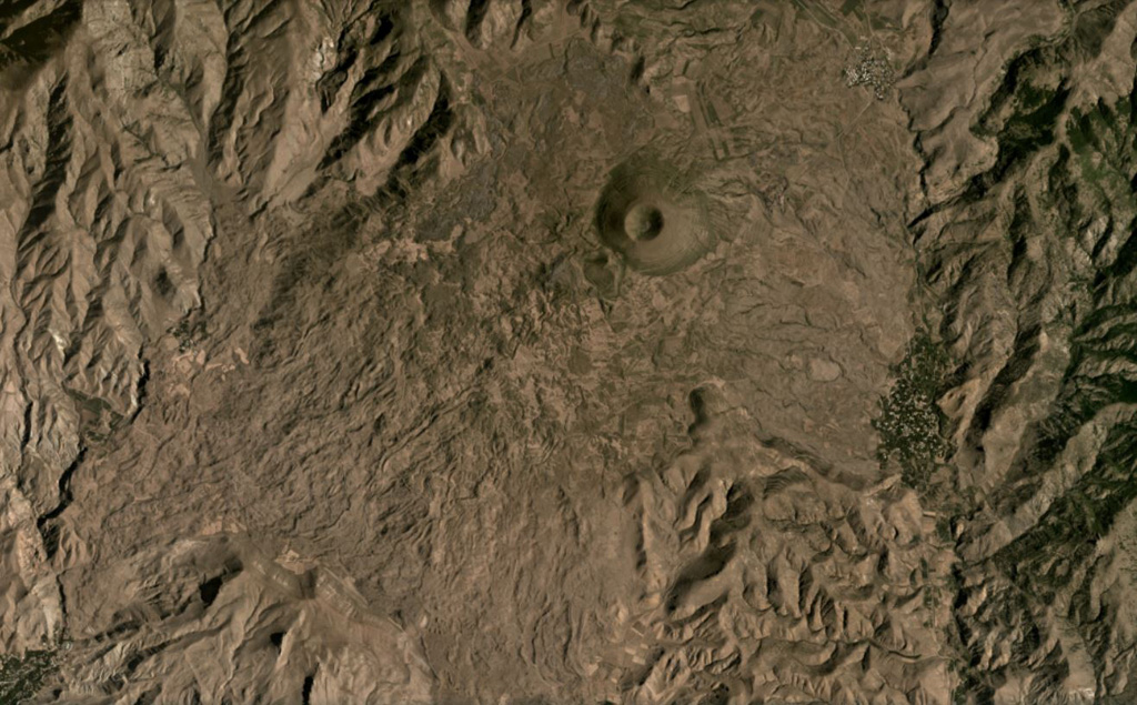
The Vaiyots-Sar pyroclastic cone is located in the southern Armenia province of Vayots Dzor in the western Vardenis Volcanic Highland south of Lake Sevan (Karakhanian et al., 2002); previous names such as Dar-Alages or Daly-Tapa are of Russian origin. Near the north end of the approximately 5 x 8 km flow field the 1.5-km-diameter cone rises about 300 m above the surrounding lavas, identified by Sviatlovsky (1959) as post-glacial. Oswald (1906) noted that steep escarpments of Nummulitic limestones were ~6 km NE of the cone across an lava-flow field. At the southern end of the flow field a fissure-fed lava flow several thousand years ago dammed the Arpah River near the town of Vyke and then flowed NW for 6 km; the flows overlie a late Pleistocene terrace and have little soil development (Karakhanian et al., 2002). The youthful-looking Smbatassar cinder cone, 17 km NW of Vaiyots-Sar, appears to be the source vent for Holocene lava flows that traveled 11 km N and 17 km S down two valleys (Karakhanian et al., 2002).
Wikipedia の要約
英語版の要約Dar-Alages is a group of six cinder lava cones south of Lake Sevan in Armenia. Fissure eruptions from Vaiyots-Sar dammed the Arpa river at Vayk and continued down the valley for 6 km. These lava flows are considered Holocene in age given the lack of a soil cover and their placement above a Pleistocene river terrace. Smbatassar cinder cones likewise generated two lava flows of 11 and 17 km length that overlie Pleistocene Yeheghis river terraces, thus also dating to the Holocene. Legends of the destruction of the towns Yegheghis and Moz in 735 AD may be linked to activity in these volcanoes.
Wikipedia · CC BY-SA · 記事全文を読む →
噴火履歴
2件の記録用語集詳細タイムライン
- 753年VEI ?根拠の記載なし753 ~ 終了日不明
- 紀元前 2000年 (±1000年)VEI ?地質学的推定紀元前 2000 ~ 終了日不明Vaiyots-Sar
近くの火山
外部リンク
⚠ 参考情報です。緊急対応には使用しないでください。