エチオピア · 火山原
Sodore
Melkassa
- タイプ
- 火山原
- 標高
- 1765m
- 最終噴火
- 不明
- タイプ
- 火山原
- 国
- エチオピア
- 地域
- 東アフリカ / Main Ethiopian Rift Volcanic Province
- 標高
- 1765m
- 座標
- 8.430, 39.350
- 最終噴火
- 不明
- テクトニクス環境
- プレート内部 / 大陸地殻 (> 25 km)
- 火山地形
- 火山群
- 主要岩石
- 玄武岩 / ピクライト質玄武岩
地質学的概要
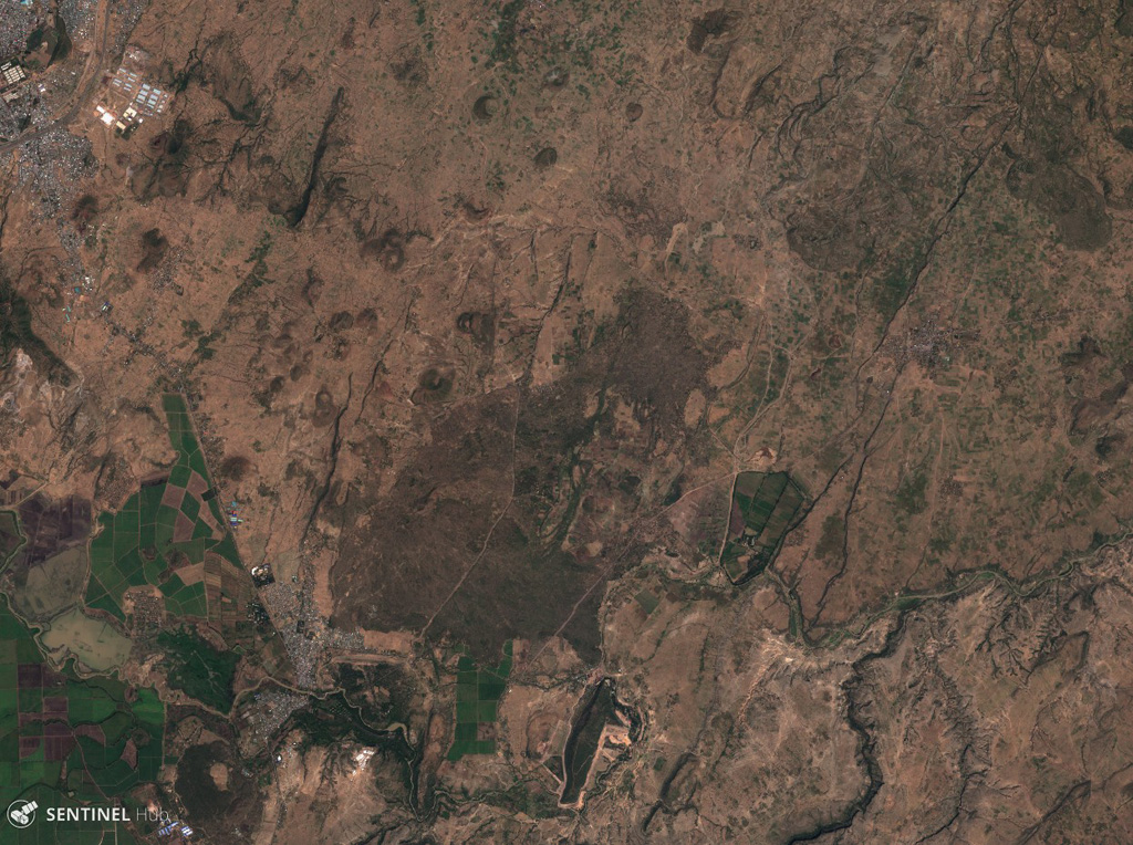
The Melkassa (or Sodore) volcanic field is an extensive 15 x 25 km group of about 30 Pleistocene and Holocene pyroclastic cones and lava flows that covers the floor of the E side of the Ethiopian Rift Valley, around the town of Melkassa, between the Boset volcanic complex and Gedamsa caldera.
噴火履歴
用語集詳細タイムライン
噴火記録はありません。
近くの火山
外部リンク
- 日本語版Wikipediaには未登録です。Wikidataで作成できます。
- Smithsonian GVP 原典ページ
⚠ 参考情報です。緊急対応には使用しないでください。