パプアニューギニア · 複成火山
St. Andrew Strait
- タイプ
- 複成火山
- 標高
- 270m
- 最終噴火
- 1957年
- タイプ
- 複成火山
- 国
- パプアニューギニア
- 地域
- 南西太平洋 / Bismarck Sea Volcanic Province
- 標高
- 270m
- 座標
- -2.380, 147.350
- 最終噴火
- 1957年
- テクトニクス環境
- 沈み込み帯 / 海洋地殻 (< 15 km)
- 火山地形
- 複成火山
- 主要岩石
- 流紋岩
地質学的概要
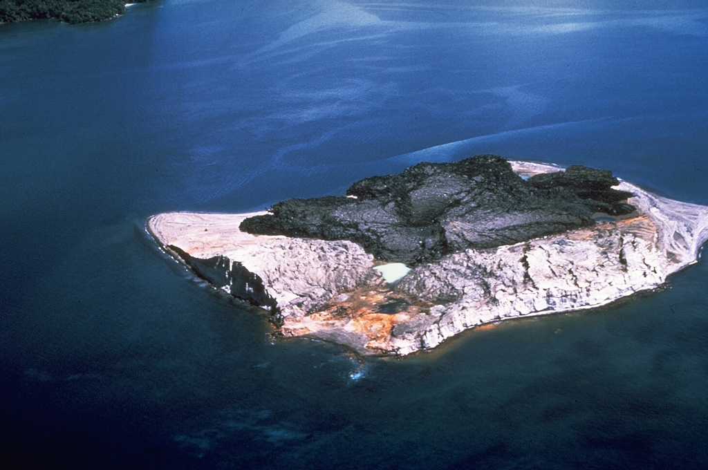
The St. Andrew Strait volcano, located in the Admiralty Islands north of Papua New Guinea, consists of a series of overlapping Quaternary cones formed by rhyolitic lava flows and pyroclastic materials on Lou and Tuluman Islands. Volcanism is aligned on a curved arc extending through the 12-km-long Lou Island. The Tuluman Islands, 1.5 km S of Lou Island, were formed during a 1953-1957 eruption. Pam Lin and Pam Mandian Islands farther to the SE along the same arc contain fresh rhyolitic obsidian similar to that found on Tuluman.
噴火履歴
5件の記録用語集概要 (VEI時系列)
バーをクリックすると個別の噴火が表示されます · 矢印キーで棒を移動、Enterで表示
詳細タイムライン
- 1953年VEI 2観測記録1953-06-27 ~ 1957-01-28Tuluman
- 1931年VEI 0根拠の記載なし1931-07-02 ~ 終了日不明Tuluman (?)
- 1883年VEI 2観測記録1883-03-28 ~ 終了日不明Tuluman
- 350年VEI ?地質学的推定350 ~ 終了日不明Lou Island (Bedal volcano)
- 紀元前 240年 (±100年)VEI ?地質学的推定紀元前 240 ~ 終了日不明Lou Island (Bedal volcano)
近くの火山
外部リンク
⚠ 参考情報です。緊急対応には使用しないでください。