パプアニューギニア · 火山原
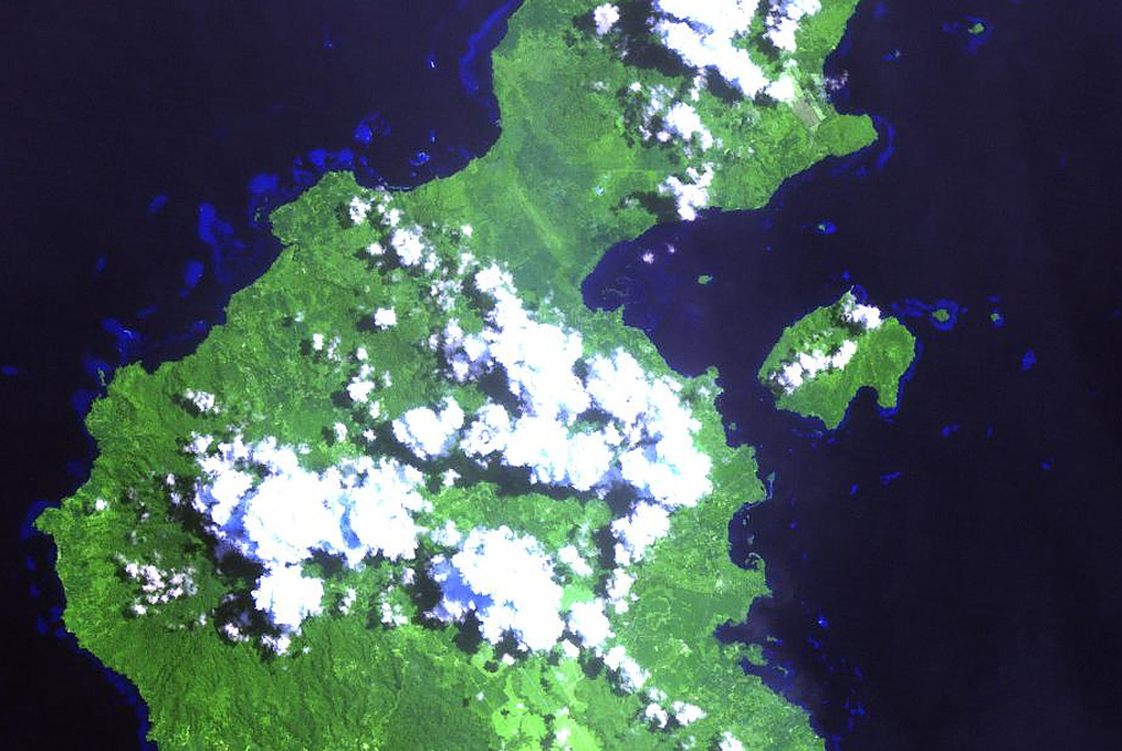
Garua Harbour
- タイプ
- 火山原
- 標高
- 565m
- 最終噴火
- 不明
- タイプ
- 火山原
- 国
- パプアニューギニア
- 地域
- 南西太平洋 / Bismarck Volcanic Arc
- 標高
- 565m
- 座標
- -5.300, 150.070
- 最終噴火
- 不明
- テクトニクス環境
- 沈み込み帯 / 大陸地殻 (> 25 km)
- 火山地形
- 火山群
- 主要岩石
- 流紋岩
地質学的概要
The Garua (Talasea) Harbour volcanic field consists of a group of lava domes and ash cones of possible Holocene age. These volcanic vents ring the harbor on the west and form Garua Island to the east. Much of the volcanic field, including the two lava domes on Garua Island, consists of rhyolitic rocks. Active hot springs ring the shores of Garua Harbour and are best developed on the north and south sides. Large boiling pools, fumaroles, and small geysers are found on the north shore near Pangalu village. Another large group of boiling pools, fumaroles, and mudpots is located near the Talasea Government Station on the south shore of the bay.
噴火履歴
用語集詳細タイムライン
噴火記録はありません。
近くの火山
外部リンク
- 日本語版Wikipediaには未登録です。Wikidataで作成できます。
- Smithsonian GVP 原典ページ
⚠ 参考情報です。緊急対応には使用しないでください。