オーストラリア · 火山原
Newer Volcanics Province
- タイプ
- 火山原
- 標高
- 1011m
- 最終噴火
- -2900年
- タイプ
- 火山原
- 国
- オーストラリア
- 地域
- 東オーストラリア / Southeastern Australia Volcanic Province
- 標高
- 1011m
- 座標
- -37.770, 142.500
- 最終噴火
- -2900年
- テクトニクス環境
- プレート内部 / 大陸地殻 (> 25 km)
- 火山地形
- 火山群
- 主要岩石
- 粗面玄武岩 / テフライト・バサナイト
地質学的概要
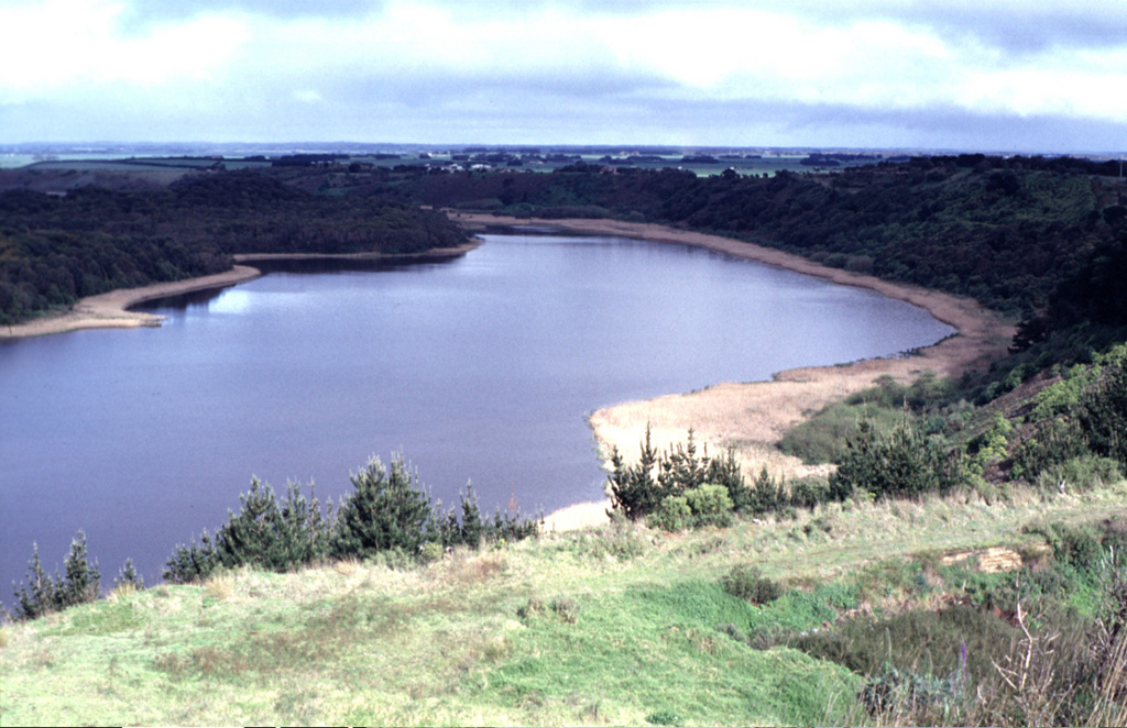
The voluminous Newer Volcanics Province covers a broad 15,000 km2 area of SE Australia with nearly 400 small shield volcanoes and explosive vents of Tertiary-to-Holocene age. Volumetrically the vast proportion of volcanic products consist of flat-lying lava flows, although the most prominent features of the volcanic field are the numerous small scoria cones, tuff rings, and maars that rise above the lava plain. Several vents were active during the Holocene; another vent (Mount Tower) is now considered to be of late-Pleistocene age. Late-Pleistocene to Holocene eruptions are characterized by small volume and low explosivity. The youngest dated eruptions took place at Mount Schank and Mount Gambier about 5,000 years ago, when explosive activity formed several maars and associated lava flows.
噴火履歴
4件の記録用語集詳細タイムライン
- 紀元前 2900年 (±150年)VEI ?地質学的推定紀元前 2900 ~ 終了日不明Mt. Gambier
- 紀元前 3000年 (±500年)VEI ?地質学的推定紀元前 3000 ~ 終了日不明Mt. Schank
- 紀元前 5290年VEI ?地質学的推定紀元前 5290 ~ 終了日不明Mt. Napier
- 紀元前 5850年VEI ?地質学的推定紀元前 5850 ~ 終了日不明Red Rock
近くの火山
外部リンク
⚠ 参考情報です。緊急対応には使用しないでください。