インドネシア · 成層火山
パタ山
Patah
- タイプ
- 成層火山
- 標高
- 2836m
- 最終噴火
- 不明
- タイプ
- 成層火山
- 国
- インドネシア
- 地域
- スンダ・バンダ / Sunda Volcanic Arc
- 標高
- 2836m
- 座標
- -4.257, 103.306
- 最終噴火
- 不明
- テクトニクス環境
- 沈み込み帯 / 大陸地殻 (> 25 km)
- 火山地形
- 複成火山
- 主要岩石
- データなし
地質学的概要
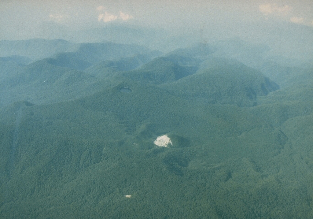
Patah is a heavily forested, dissected Quaternary volcano SE of Dempo volcano. The age of its latest eruptions is not known, although on 1 May 1989 a possible new 150-m-wide crater with active fumaroles was observed by a cargo aircraft pilot in a heavily forested area on the side of a small cone about 3 km SE of Gunung Patah. The exact date of its formation, and its geologic relationship to Patah are uncertain. A crater lake at the summit of another peak, Bukit Belirang (Sulfur Hill), is located 1.5 km S of the fumaroles.
噴火履歴
用語集詳細タイムライン
噴火記録はありません。
近くの火山
外部リンク
⚠ 参考情報です。緊急対応には使用しないでください。