インドネシア · 成層火山
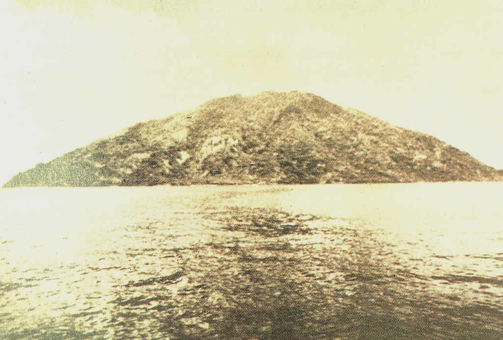
テオン山
Teon
- タイプ
- 成層火山
- 標高
- 728m
- 最終噴火
- 1904年
- タイプ
- 成層火山
- 国
- インドネシア
- 地域
- スンダ・バンダ / Inner Banda Volcanic Arc
- 標高
- 728m
- 座標
- -6.976, 129.144
- 最終噴火
- 1904年
- テクトニクス環境
- 沈み込み帯 / 海洋地殻 (< 15 km)
- 火山地形
- 複成火山
- 主要岩石
- 安山岩 / 玄武岩質安山岩
地質学的概要
Teon, an elongated andesitic island volcano in the southwestern Banda arc, is also known as Serawerna, the name of its active crater. Another smaller crater is located to the NNE of Serawerna. Explosive eruptions have been recorded since the 17th century; the largest produced pyroclastic flows and surges in 1660 CE that caused damage and fatalities.
Wikipedia の要約
英語版の要約Mount Teon is an elongated island in the Banda Sea, Indonesia. Explosive eruptions have been recorded from the volcano since the seventeenth century.
Wikipedia · CC BY-SA · 記事全文を読む →
噴火履歴
5件の記録用語集概要 (VEI時系列)
バーをクリックすると個別の噴火が表示されます · 矢印キーで棒を移動、Enterで表示
詳細タイムライン
- 1904年VEI 2観測記録1904-06-03 ~ 終了日不明
- 1693年VEI 3観測記録1693 ~ 終了日不明
- 1663年VEI 3観測記録1663-01-18 ~ 終了日不明
- 1660年VEI 4観測記録1660-02 ~ 終了日不明
- 1659年VEI 3観測記録1659-11-11 ~ 終了日不明
近くの火山
外部リンク
⚠ 参考情報です。緊急対応には使用しないでください。