インドネシア · 複成火山
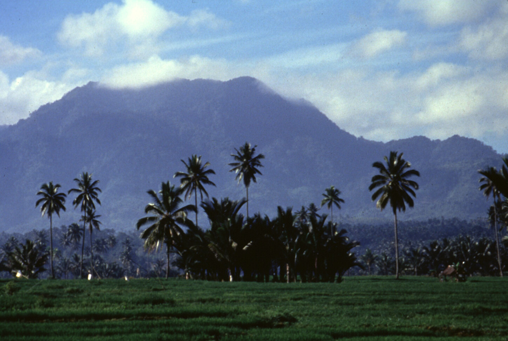
アンバン山
Ambang
- タイプ
- 複成火山
- 標高
- 1795m
- 最終噴火
- 2005年
- タイプ
- 複成火山
- 国
- インドネシア
- 地域
- 西太平洋 / Sangihe Volcanic Arc
- 標高
- 1795m
- 座標
- 0.750, 124.420
- 最終噴火
- 2005年
- テクトニクス環境
- 沈み込み帯 / 大陸地殻 (> 25 km)
- 火山地形
- 複成火山
- 主要岩石
- 安山岩 / 玄武岩質安山岩
地質学的概要
The compound Ambang volcano is the westernmost of the active volcanoes on the northern arm of Sulawesi. The stratovolcano rises 750 m above lake Danau. Several craters up to 400 m in diameter and five solfatara fields are located at the summit.
Wikipedia の要約
英語版の要約Ambang is a complex of volcanoes at the western end of the northern arm of Sulawesi island, Indonesia. There are two lakes, lake Mo'oat and lake Tondok, at an elevation of 750 m. The larger of the two lakes is Mo'oat. Both of them are side by side. The volcano contains several craters up to 400 m in diameter and five solfatara fields. The only historical account of its eruption occurred sometime in the 1850s.
Wikipedia · CC BY-SA · 記事全文を読む →
噴火履歴
2件の記録用語集概要 (VEI時系列)
バーをクリックすると個別の噴火が表示されます · 矢印キーで棒を移動、Enterで表示
詳細タイムライン
- 2005年VEI 1観測記録2005-12-22 ~ 終了日不明
- 1845年 (±5年)VEI ?観測記録1845-07-02 ~ 終了日不明
近くの火山
外部リンク
⚠ 参考情報です。緊急対応には使用しないでください。