本文へスキップ
地図に戻る
比較地図で見る

インドネシア · 成層火山

トーバルー山

Tobaru

タイプ
成層火山
標高
1035m
最終噴火
不明
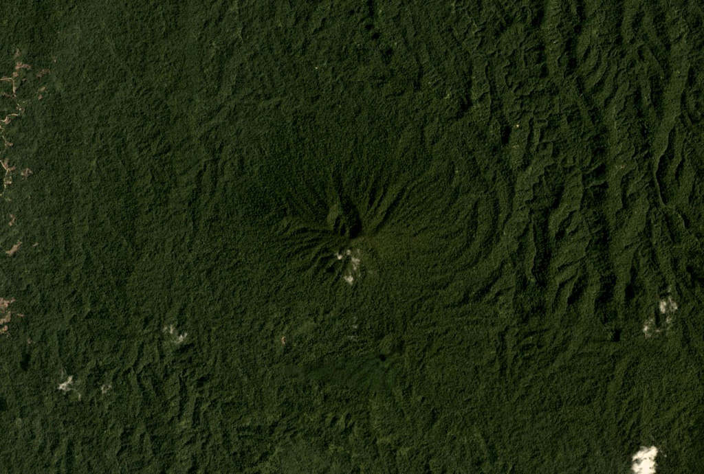
The vegetated Tobaru volcano in western North Maluku, Indonesia, is in the center of this November 2019 Planet Labs satellite image monthly mosaic (N is at the top; this image is approximately 12 km across). There is a possible flank collapse scarp on the western flank.
The vegetated Tobaru volcano in western North Maluku, Indonesia, is in the center of this November 2019 Planet Labs satellite image monthly mosaic (N is at the top; this image is approximately 12 km across). There is a possible flank collapse scarp on the western flank. · 写真: Satellite image courtesy of Planet Labs Inc., 2019 (https://www.planet.com/).
タイプ
成層火山
国
インドネシア
地域
西太平洋 / Halmahera Volcanic Arc
標高
1035m
座標
1.630, 127.670
最終噴火
不明
テクトニクス環境
沈み込み帯 / 海洋地殻 (< 15 km)
火山地形
複成火山
主要岩石
安山岩 / 玄武岩質安山岩
地質学的概要

Gunung Tobaru, also known as Lolodai, is located in northern Halmahera WSW of Dukono and NNE of Ibu. Supriatna (1980) mapped the little known andesitic volcano as Holocene.

噴火履歴

用語集

詳細タイムライン

噴火記録はありません。

近くの火山

外部リンク

⚠ 参考情報です。緊急対応には使用しないでください。