インドネシア · 成層火山
ヒリ山
Hiri
- タイプ
- 成層火山
- 標高
- 687m
- 最終噴火
- 不明
- タイプ
- 成層火山
- 国
- インドネシア
- 地域
- 西太平洋 / Halmahera Volcanic Arc
- 標高
- 687m
- 座標
- 0.897, 127.317
- 最終噴火
- 不明
- テクトニクス環境
- 沈み込み帯 / 海洋地殻 (< 15 km)
- 火山地形
- 複成火山
- 主要岩石
- 玄武岩 / ピクライト質玄武岩
地質学的概要
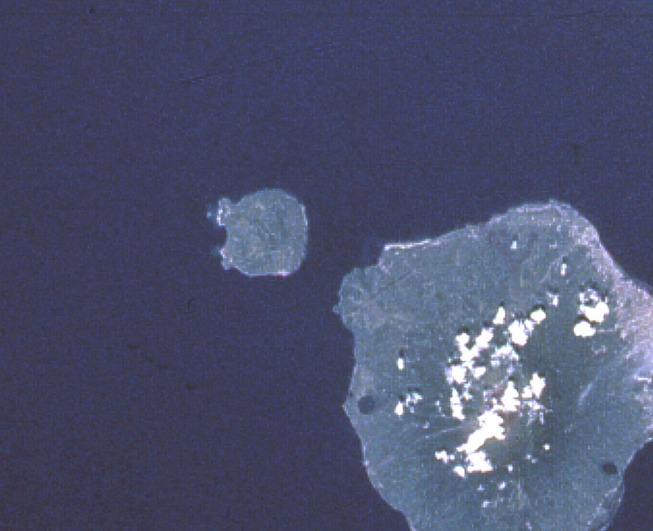
Hiri is a 3-km-wide forested island immediately north of Gamalama on Ternate Island, and is the northernmost of a chain of volcanic islands off the western coast of Halmahera. Two conical volcanic edifices are present within a larger caldera open to the W. Apandi and Sudana (1980) mapped it as Holocene in age, but no eruptions have been dated or reported.
Wikipedia の要約
英語版の要約Hiri is a small, 3-kilometre-wide forested island immediately north of the island of Ternate, in the Maluku Islands of Indonesia. It is located at the northernmost part of a chain of volcanic islands off the western coast of Halmahera. It is a conical stratovolcano which rises to 630 m (2,067 ft). The island covers 9.72 km2 and had a population of 2,880 in mid 2023; it is administered as a district (kecamatan) of the City of Ternate. Its dominant neighbour to the south is the more active volcano of Mount Gamalama, on Ternate island.
Wikipedia · CC BY-SA · 記事全文を読む →
噴火履歴
用語集詳細タイムライン
噴火記録はありません。
近くの火山
外部リンク
⚠ 参考情報です。緊急対応には使用しないでください。