ロシア · 成層火山
Koshelev
- タイプ
- 成層火山
- 標高
- 1822m
- 最終噴火
- 1690年
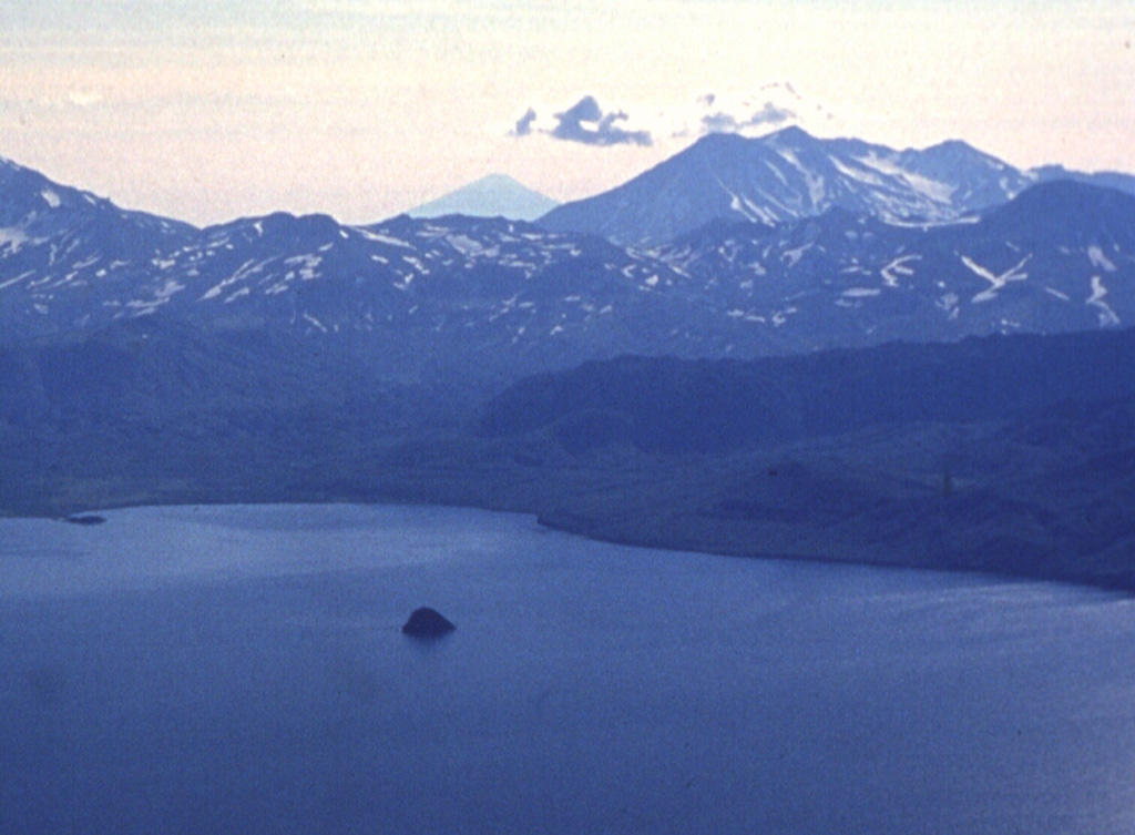
- タイプ
- 成層火山
- 国
- ロシア
- 地域
- 北西太平洋 / Kuril Volcanic Arc
- 標高
- 1822m
- 座標
- 51.356, 156.753
- 最終噴火
- 1690年
- テクトニクス環境
- 沈み込み帯 / 大陸地殻 (> 25 km)
- 火山地形
- 複成火山
- 主要岩石
- 玄武岩 / ピクライト質玄武岩
地質学的概要
Koshelev is at the southern end of the Kamchatka Peninsula, SW of the Pauzhetka volcano-tectonic depression and NW of Kambalny volcano. It is a complex group of four stratovolcanoes constructed along an E-W line over a Pleistocene shield volcano. Central Koshelev stratovolcano, the highest peak of the volcanic massif, is Holocene in age; N- and SE-flank craters have also been active during the Holocene. Gorely, a Holocene cinder cone related to regional basaltic monogenetic volcanism, is located about 12 km NW. The largest Holocene eruption took place from the eastern cone about 6,500 years ago. An explosive eruption was reported at the end of the 17th century. Major thermal fields are located in the summit crater of Valentin volcano and on the western flanks of west Koshelev volcano.
噴火履歴
5件の記録用語集詳細タイムライン
- 1741年VEI ?根拠の記載なし1741 ~ 終了日不明
- 1690年 (±10年)VEI 3観測記録1690 ~ 終了日不明SE flank
- 紀元前 1350年VEI ?地質学的推定紀元前 1350 ~ 終了日不明Northern flank
- 紀元前 4050年VEI ?地質学的推定紀元前 4050 ~ 終了日不明NW flank (Gorely)
- 紀元前 4550年VEI ?地質学的推定紀元前 4550 ~ 終了日不明Eastern cone
近くの火山
外部リンク
⚠ 参考情報です。緊急対応には使用しないでください。