ロシア · 成層火山
Komarov
- タイプ
- 成層火山
- 標高
- 2065m
- 最終噴火
- 950年
- タイプ
- 成層火山
- 国
- ロシア
- 地域
- 北西太平洋 / Eastern Kamchatka Volcanic Arc
- 標高
- 2065m
- 座標
- 55.033, 160.725
- 最終噴火
- 950年
- テクトニクス環境
- 沈み込み帯 / 大陸地殻 (> 25 km)
- 火山地形
- 複成火山
- 主要岩石
- 玄武岩 / ピクライト質玄武岩
地質学的概要
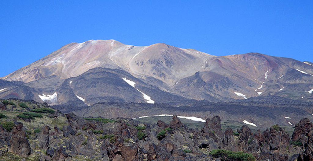
Komarov volcano is a complex structure along the Gamchen ridge. The summit area includes two irregular craters ~300m in diameter. Lengthy Holocene lava flows extend to the east and west. Growth began about 1,500 years ago following cessation of activity at Vysoky volcano. No reported eruptions are known, but the summit region has undergone extensive hydrothermal alteration, and fumarolic areas occur there and on the northern and southern flanks.
Wikipedia の要約
英語版の要約Komarov is an inactive stratovolcano located in the southeastern part of the Kamchatka Peninsula, Russia. It was named after Vladimir L. Komarov.
Wikipedia · CC BY-SA · 記事全文を読む →
噴火履歴
2件の記録用語集概要 (VEI時系列)
バーをクリックすると個別の噴火が表示されます · 矢印キーで棒を移動、Enterで表示
詳細タイムライン
- 950年VEI ?地質学的推定950 ~ 終了日不明
- 450年VEI 0地質学的推定450 ~ 終了日不明
近くの火山
外部リンク
⚠ 参考情報です。緊急対応には使用しないでください。