中国 · 火山原
アシクレ火山群
Ashikule Volcanic Field
- タイプ
- 火山原
- 標高
- 5090m
- 最終噴火
- 1951年
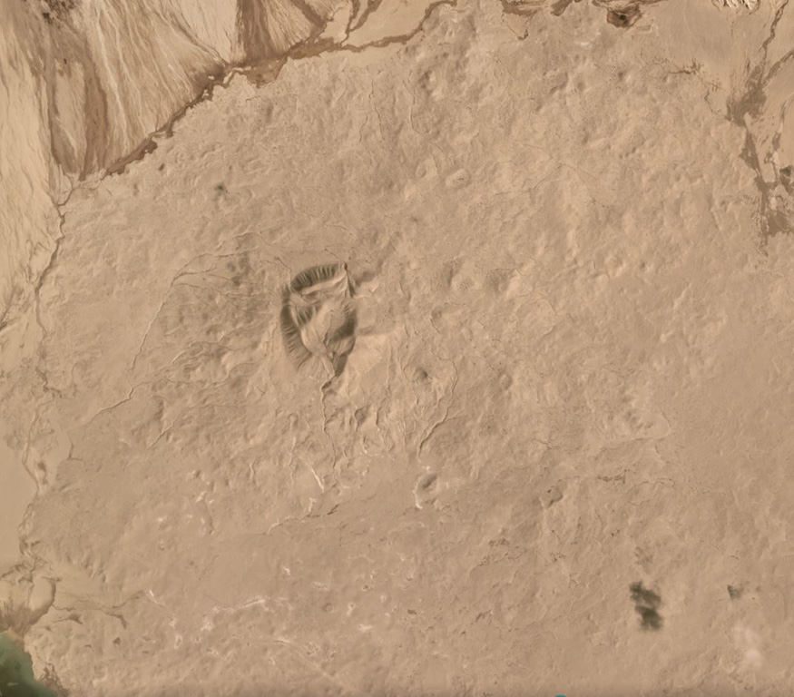
- タイプ
- 火山原
- 国
- 中国
- 地域
- 東アジア / Northern Tibetan Plateau Volcanic Province
- 標高
- 5090m
- 座標
- 35.742, 81.646
- 最終噴火
- 1951年
- テクトニクス環境
- プレート内部 / 大陸地殻 (> 25 km)
- 火山地形
- 火山群
- 主要岩石
- 粗面岩 / 粗面デイサイト
地質学的概要
The Ashikule Volcanic Field contains 10 Pliocene to Holocene pyroclastic cones at the western end of the Kunlun Mountains. Several young trachyandesitic cones lie in the area around Ashi (Aqqikkol) and Wuluke (Ulugkol) lakes. China's most recent eruption was observed by a road-building crew on 27 May 1951, at the Ashishan (also known as Ka-er-daxi or Vulkan) cone. The eruption began with a loud detonation and ejected large blocks, emitting "smoke" for a number of days. An unconfirmed eruption was reported in the 19th century.
噴火履歴
2件の記録用語集概要 (VEI時系列)
バーをクリックすると個別の噴火が表示されます · 矢印キーで棒を移動、Enterで表示
詳細タイムライン
- 1951年VEI 2観測記録1951-05-27 ~ 終了日不明Ashi Shan
- 1850年 (±50年)VEI ?根拠の記載なし1850-07-02 ~ 終了日不明
近くの火山
外部リンク
⚠ 参考情報です。緊急対応には使用しないでください。