本文へスキップ
地図に戻る
比較地図で見る

アメリカ合衆国 · 火山原

Stepovak Bay Group

タイプ
火山原
標高
1633m
最終噴火
不明
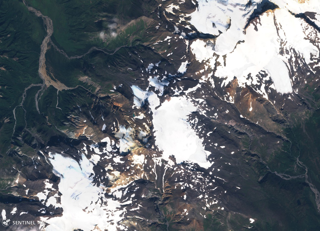
Stepovak Bay 2 is part of the Stepovak Bay Group on the western Alaska Peninsula. The group is located along a NE-trending ridge, seen here in this 14 September 2018 Sentinel-2 satellite image (N is at the top), which is approximately 14 km across. Several of the volcanoes have produced debris flows and lava flows in the Holocene.
Stepovak Bay 2 is part of the Stepovak Bay Group on the western Alaska Peninsula. The group is located along a NE-trending ridge, seen here in this 14 September 2018 Sentinel-2 satellite image (N is at the top), which is approximately 14 km across. Several of the volcanoes have produced debris flows and lava flows in the Holocene. · 写真: Satellite image courtesy of Copernicus Sentinel Data, 2018.
タイプ
火山原
国
アメリカ合衆国
地域
北アメリカ / Aleutian Ridge Volcanic Arc
標高
1633m
座標
55.917, -160.017
最終噴火
不明
テクトニクス環境
沈み込み帯 / 大陸地殻 (> 25 km)
火山地形
火山群

地質学的概要

英語の原文

The Stepovak Bay Group is a chain of four cones, extending over a distance of 18 km, just SW of Kupreanof volcano.

出典:Global Volcanism Program, Smithsonian Institution(抜粋) · GVP で全文を読む →

噴火履歴

用語集

詳細タイムライン

噴火記録はありません。

近くの火山

外部リンク

⚠ 参考情報です。緊急対応には使用しないでください。