アメリカ合衆国 · タフリング
Buzzard Creek
- タイプ
- タフリング
- 標高
- 830m
- 最終噴火
- -1050年
- タイプ
- タフリング
- 国
- アメリカ合衆国
- 地域
- 北アメリカ / Alaska Peninsula Volcanic Arc
- 標高
- 830m
- 座標
- 64.062, -148.433
- 最終噴火
- -1050年
- テクトニクス環境
- 沈み込み帯 / 大陸地殻 (> 25 km)
- 火山地形
- 小規模 (玄武岩質)
- 主要岩石
- 玄武岩 / ピクライト質玄武岩
地質学的概要
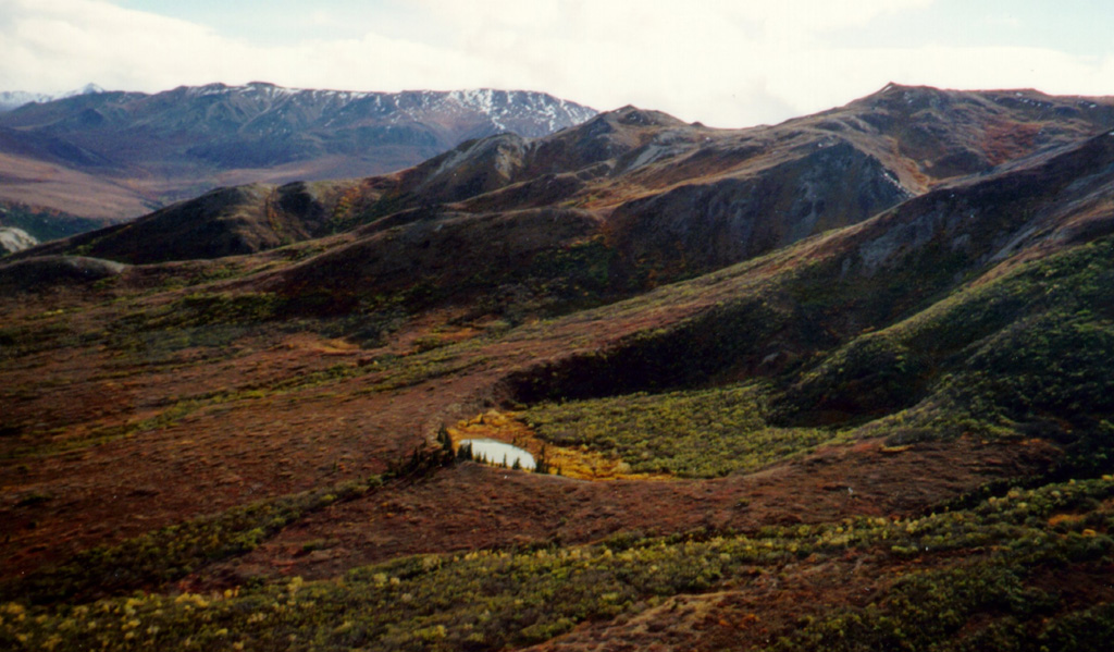
Two Holocene tuff rings form craters 300 and 66 m wide near the headwaters of Buzzard Creek at the northern foot of the central Alaska Range NE of the town of Healy along the Parks Highway. Both contain small lakes, and the smaller ring is about 200 m SE of the larger one. The total volume of ejecta, most of which is accessory material, probably does not exceed 0.001 km3. The ejecta overlies young glacial terraces that correlate with a glacial stage that ended about 10,000 years ago, and radiocarbon dates give an age for the eruption that formed the tuff rings of about 3,000 years. This minor volcanic feature lies along trend with the Aleutian arc, but is located 320 km NE of its nearest Holocene neighbor (Hayes volcano), and directly over the northernmost corner of the subducting Pacific Plate.
Wikipedia の要約
英語版の要約The Buzzard Creek craters are two tuff rings near Healy, Alaska, United States. Its highest point is 2,723 ft.
Wikipedia · CC BY-SA · 記事全文を読む →
噴火履歴
1件の記録用語集詳細タイムライン
- 紀元前 1050年VEI 2地質学的推定紀元前 1050 ~ 終了日不明
近くの火山
外部リンク
⚠ 参考情報です。緊急対応には使用しないでください。