アメリカ合衆国 · 火山原
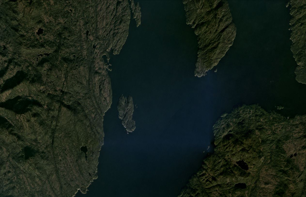
Behm Canal-Rudyerd Bay
- タイプ
- 火山原
- 標高
- 500m
- 最終噴火
- 不明
- タイプ
- 火山原
- 国
- アメリカ合衆国
- 地域
- 北アメリカ / Northern Cordilleran Volcanic Province
- 標高
- 500m
- 座標
- 55.350, -131.000
- 最終噴火
- 不明
- テクトニクス環境
- プレート内部 / 大陸地殻 (> 25 km)
- 火山地形
- 火山群
- 主要岩石
- 玄武岩 / ピクライト質玄武岩
地質学的概要
Numerous basaltic cinder cones and lava flows occur in the panhandle of SE Alaska on both sides of Behm Canal, which divides Revillagigedo Island from the mainland. The lava flows, which are locally columnar-jointed and overlie glacial-fluvial sediments and granitic gneisses of the Coast Mountains, are located on the E and SE sides of Revillagigedo Island and at Rudyerd Bay across Behm Canal to the east. Most exposures are on SE Revillagigedo Island, but outcrops also occur on the mainland east of Behm Canal at the southern end of Punchbowl Cove at Rudyerd Bay. Undisturbed cinder cones and lava-flow surfaces at Painted Peak on SE Revillagigedo Island and elsewhere indicate that most of the activity was post-glacial (Brew, in Wood and Kienle, 1990). Pumice, lapilli, and ash deposits locally cover parts of glaciated ridge tops. Lava flows at the outlet of Lake Grace near Behm Canal on the eastern side of Revillagigedo Island were considered to be of late-Pleistocene or Holocene age (Wanek and Callahan, 1971). Minor andesitic and trachyandesitic flows are also present.
噴火履歴
用語集詳細タイムライン
噴火記録はありません。
近くの火山
外部リンク
- 日本語版Wikipediaには未登録です。Wikidataで作成できます。
- Smithsonian GVP 原典ページ
⚠ 参考情報です。緊急対応には使用しないでください。