カナダ · 火山原
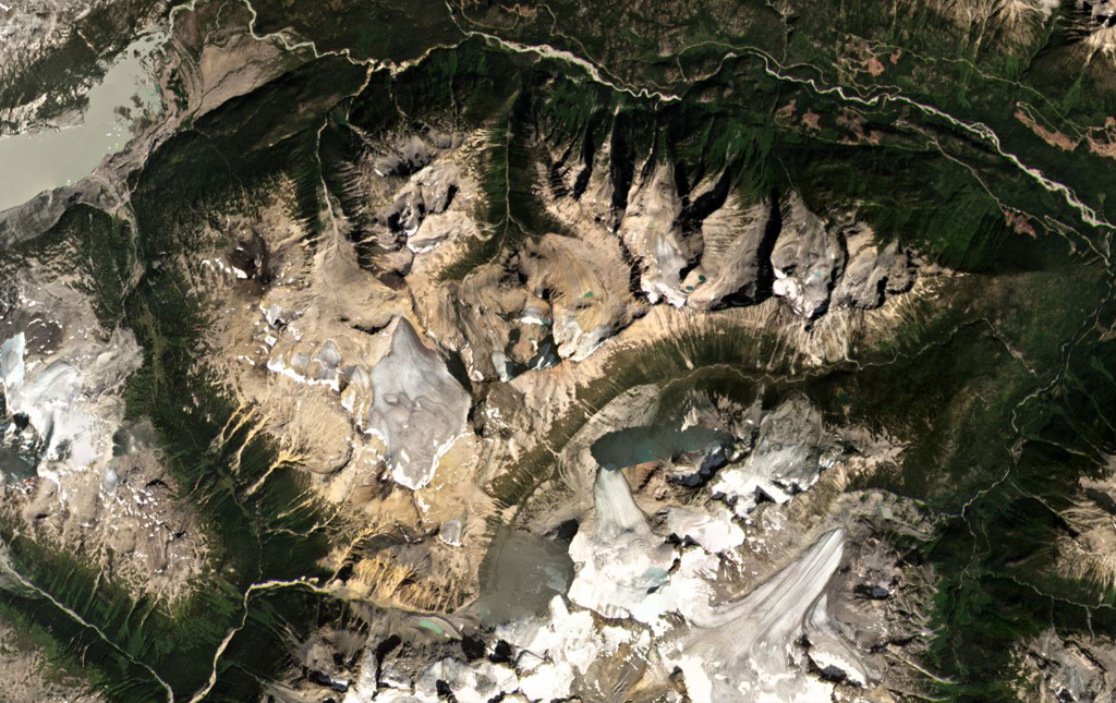
Bridge River Cones
- タイプ
- 火山原
- 標高
- 2500m
- 最終噴火
- 不明
- タイプ
- 火山原
- 国
- カナダ
- 地域
- 北アメリカ / Garibaldi Volcanic Arc
- 標高
- 2500m
- 座標
- 50.800, -123.400
- 最終噴火
- 不明
- テクトニクス環境
- 沈み込み帯 / 大陸地殻 (> 25 km)
- 火山地形
- 火山群
- 主要岩石
- 玄武岩 / ピクライト質玄武岩
地質学的概要
The Bridge River Cones volcanic field consists of a group of small basaltic and trachybasaltic eruptive centers at the extreme northern end of the Garibaldi volcanic belt in SW British Columbia. Pleistocene volcanic necks and cones were Potassium-Argon dated at 0.97 and 0.59 million years ago in the Salal Creek area and display ice-contact features (Lawrence et al., 1984). Tuber Hill is a small subaerial 600,000-year-old basaltic stratovolcano to the N that was constructed on the Bridge River upland when neighboring valleys were filled with ice. Lava flows that overlie poorly consolidated glacial till and appear to post-date the latest glaciation are found immediately N of Bridge River. The youngest flow may be less than 1500 years old (Souther; in Wood and Kienle, 1990).
Wikipedia の要約
英語版の要約The Bridge River Cones, sometimes referred to as the Lillooet Cones and Salal Creek Cones, is the name given to a volcanic field located on the north flank of the upper Bridge River, about 40 km (25 mi) west of the town of Gold Bridge. The cones are in the lee of the Lillooet Icecap and sit astride a group of passes between the Bridge River, which flows W-E to their south, and the Lord River, which flows north to the Taseko Lakes in the Chilcotin District.
Wikipedia · CC BY-SA · 記事全文を読む →
噴火履歴
用語集詳細タイムライン
噴火記録はありません。
近くの火山
外部リンク
⚠ 参考情報です。緊急対応には使用しないでください。