アメリカ合衆国 · 楯状火山
Black Butte Crater Lava Field
- タイプ
- 楯状火山
- 標高
- 1478m
- 最終噴火
- -8180年
- タイプ
- 楯状火山
- 国
- アメリカ合衆国
- 地域
- 北アメリカ / Yellowstone-Snake River Hotspot Volcano Group
- 標高
- 1478m
- 座標
- 43.185, -114.354
- 最終噴火
- -8180年
- テクトニクス環境
- リフト帯 / 大陸地殻 (> 25 km)
- 火山地形
- 楯状火山
- 主要岩石
- 玄武岩 / ピクライト質玄武岩
地質学的概要
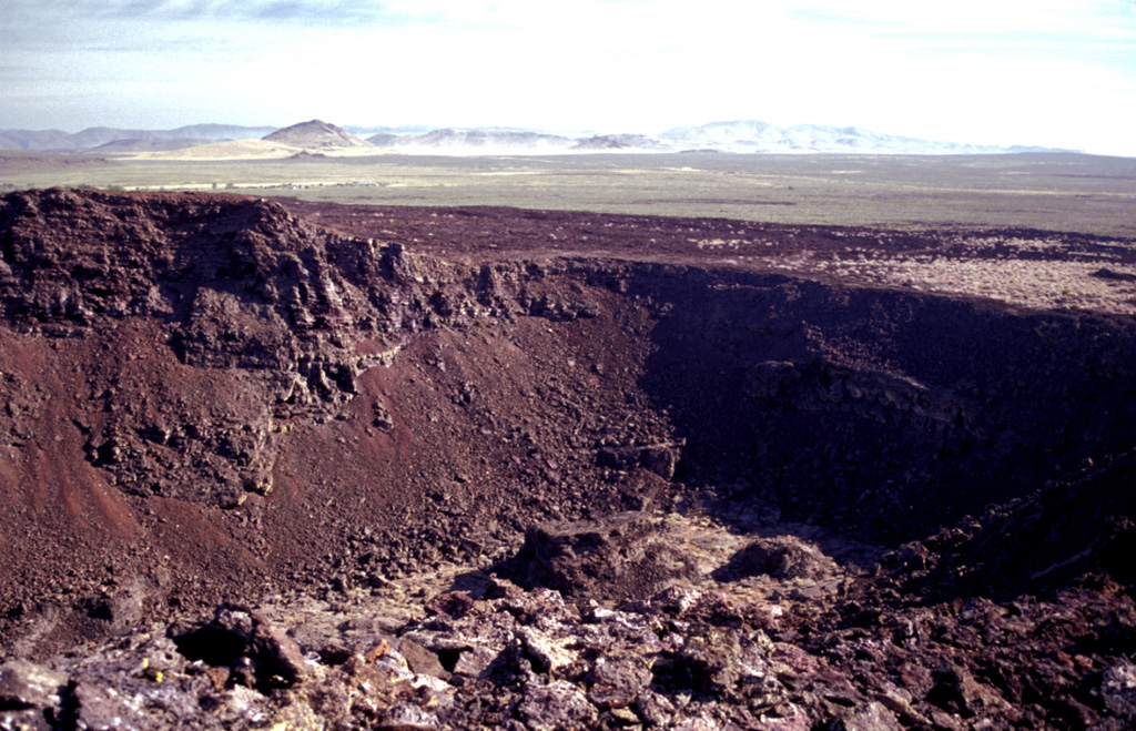
The Black Butte Crater lava field is the westernmost of the young lava fields of the Eastern Snake River Plain. It lies north of Twin Falls, Idaho, and created an L-shaped lava flow 2-5 km wide that extends 60 km S and then west. A single radiocarbon age of 10,130 +/- 350 years BP was obtained for lava flows here (Kuntz et al., 1986). Black Butte Crater caps a lava shield at the NE end of the flow field. The vent area contains a complex lava lake that forms a six-part flower-petal like depression with steep walls up to 30 m high that covers an area of 2 km2. A lava tube and channel system extending 5 km SE of the crater displays both roofed and collapsed portions. The Big Wood and Little Wood rivers follow the northern and southern margins of the distal part of the lava flow, respectively. The voluminous flow diverted the river channels so that they now join 40 km W of their former confluence.
噴火履歴
1件の記録用語集詳細タイムライン
- 紀元前 8180年 (±350年)VEI 0地質学的推定紀元前 8180 ~ 終了日不明Black Butte Crater
近くの火山
外部リンク
- 日本語版Wikipediaには未登録です。Wikidataで作成できます。
- Smithsonian GVP 原典ページ
⚠ 参考情報です。緊急対応には使用しないでください。