アメリカ合衆国 · 火山原
Red Hill volcanic field
Red Hill-Quemado
- タイプ
- 火山原
- 標高
- 2300m
- 最終噴火
- -9450年
- タイプ
- 火山原
- 国
- アメリカ合衆国
- 地域
- 北アメリカ / Basin and Range Volcanic Province
- 標高
- 2300m
- 座標
- 34.250, -108.830
- 最終噴火
- -9450年
- テクトニクス環境
- リフト帯 / 大陸地殻 (> 25 km)
- 火山地形
- 火山群
- 主要岩石
- 玄武岩 / ピクライト質玄武岩
地質学的概要
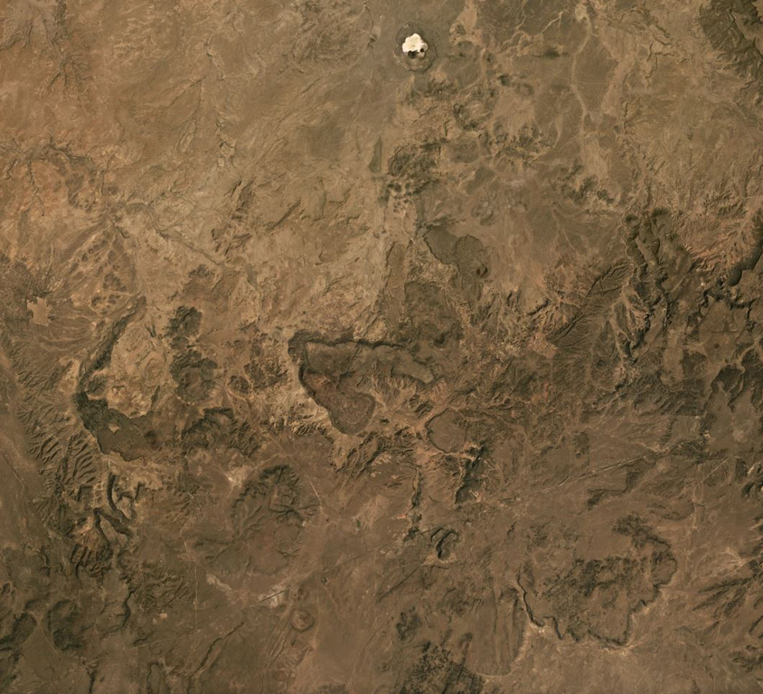
The Red Hill-Quemado volcanic field in western New Mexico is across the border from the Springerville volcanic field in Arizona and contains more than 40 cinder cones and maars that were active from the late Miocene to early Holocene. The volcanic field lies along the NE-trending Jemez Lineament that extends from SE Colorado to east-central Arizona. Dating by Onken and Forman (2017) showed that three eruptive events took place during the early Holocene, and that the 2-km-wide Zuni Salt Lake maar with its late-stage nested cinder cones was formed about 11,000-11,800 calibrated 14C years ago.
噴火履歴
3件の記録用語集概要 (VEI時系列)
バーをクリックすると個別の噴火が表示されます · 矢印キーで棒を移動、Enterで表示
詳細タイムライン
- 紀元前 9450年 (±400年)VEI ?地質学的推定紀元前 9450 ~ 終了日不明Zuni Salt Lake maar
- 紀元前 9700年 (±450年)VEI ?地質学的推定紀元前 9700 ~ 終了日不明2.5 km radius of Zuni Salt Lake
- 紀元前 9850年 (±500年)VEI ?地質学的推定紀元前 9850 ~ 終了日不明Cerro Pomo?
近くの火山
外部リンク
⚠ 参考情報です。緊急対応には使用しないでください。