海底地形 · 割れ目火口
Southern EPR-Segment J
Southern EPR at 18.2°S (Segment J)
- タイプ
- 割れ目火口
- 標高
- 2650m (海底)
- 最終噴火
- 1890年
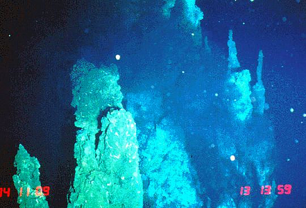
- タイプ
- 割れ目火口
- 国
- 海底地形
- 地域
- 南太平洋 / Southern East Pacific Rise Volcanic Province
- 標高
- 2650m (海底)
- 座標
- -18.175, -113.350
- 最終噴火
- 1890年
- テクトニクス環境
- リフト帯 / 海洋地殻 (< 15 km)
- 火山地形
- 火山群
- 主要岩石
- 玄武岩 / ピクライト質玄武岩
地質学的概要
英語の原文The axial crest of Segment J of the Southern East Pacific Rise consists of an asymmetrical shallow graben varying from 250 to 600 m wide with walls about 20 m high.
出典:Global Volcanism Program, Smithsonian Institution(抜粋) · GVP で全文を読む →
噴火履歴
2件の記録用語集記録の概要
- 確認された噴火
- 2件
- 不確実な噴火
- 0件
- 確認された記録の範囲
- 1820年 ~ 1890年
- 確認された最大の噴火
- VEI 0(1890年、2件のうち最新)
- 1900年以降の確認された噴火
- 0件
概要 (VEI時系列)
バーをクリックすると個別の噴火が表示されます · 矢印キーで棒を移動、Enterで表示
詳細タイムライン
- 1890年VEI 0地質学的推定1890-07-02 ~ 終了日不明
- 1820年VEI 0地質学的推定1820-07-02 ~ 終了日不明
近くの火山
外部リンク
- 日本語版Wikipediaには未登録です。Wikidataで作成できます。
- Smithsonian GVP 原典ページ
⚠ 参考情報です。緊急対応には使用しないでください。