メキシコ · 火山原
San Borja Volcanic Field
- タイプ
- 火山原
- 標高
- 1360m
- 最終噴火
- 不明
- タイプ
- 火山原
- 国
- メキシコ
- 地域
- 東太平洋 / Gulf of California Rift Volcanic Province
- 標高
- 1360m
- 座標
- 28.500, -113.750
- 最終噴火
- 不明
- テクトニクス環境
- リフト帯 / 大陸地殻 (> 25 km)
- 火山地形
- 火山群
- 主要岩石
- 安山岩 / 玄武岩質安山岩
地質学的概要
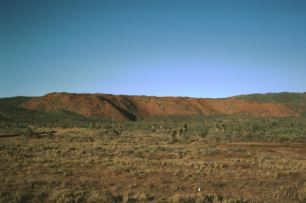
The San Borja (or El Rosarito) volcanic field, is located in central Baja California NE of the Vizcaino Peninsula. Holocene lava flows occur at Rosarito and Morro San Domingo at the western end of the field along the coast north of the Vizcaino Peninsula. Some lava flows are less vegetated than flows of the San Quintín volcanic field to the north that overlie 5,000-6,000 year-old midden deposits (Rogers et al., 1985). The Holocene lava flows in the western part of this alkalic volcanic field are of basaltic andesite and andesitic composition.
噴火履歴
用語集詳細タイムライン
噴火記録はありません。
近くの火山
外部リンク
- 日本語版Wikipediaには未登録です。Wikidataで作成できます。
- Smithsonian GVP 原典ページ
⚠ 参考情報です。緊急対応には使用しないでください。