グアテマラ · 成層火山
フマイテペケ火山
Jumaytepeque
- タイプ
- 成層火山
- 標高
- 1802m
- 最終噴火
- 不明
- タイプ
- 成層火山
- 国
- グアテマラ
- 地域
- 中央アメリカ・カリブ海 / Central America Volcanic Arc
- 標高
- 1802m
- 座標
- 14.340, -90.271
- 最終噴火
- 不明
- テクトニクス環境
- 沈み込み帯 / 大陸地殻 (> 25 km)
- 火山地形
- 複成火山
- 主要岩石
- 玄武岩 / ピクライト質玄武岩
地質学的概要
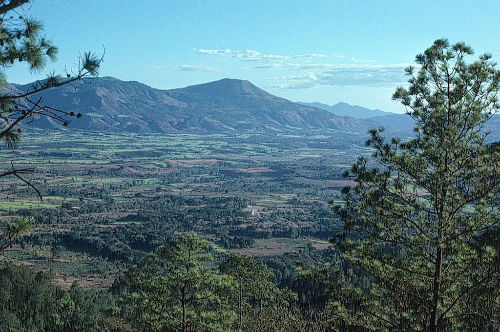
Jumaytepeque is a small basaltic stratovolcano located NNE of the city of Cuilapa, north of the major NW-SE-trending Jalpatagua fault that cuts diagonally across SE Guatemala. The volcano was constructed near the SE rim of the large Miocene Santa Rosa de Lima caldera. It is not overlain by a ca. 23,000-year-old tephra unit from nearby Ayarza caldera, and its erosionally unmodified form suggests that Holocene activity is possible (Reynolds 2007, pers. comm.). Two older cinder cones to the north are covered with Ayarza tephra.
Wikipedia の要約
英語版の要約Volcán Jumaytepeque is a stratovolcano in south-eastern Guatemala. The 1,815-metre-high (5,955 ft) volcano is located about 7 km north-north-east of the city of Cuilapa, near the south-eastern rim of the large Miocene Santa Rosa de Lima caldera.
Wikipedia · CC BY-SA · 記事全文を読む →
噴火履歴
用語集詳細タイムライン
噴火記録はありません。
近くの火山
外部リンク
⚠ 参考情報です。緊急対応には使用しないでください。