エクアドル · 成層火山
Soche
- タイプ
- 成層火山
- 標高
- 3955m
- 最終噴火
- -6650年
- タイプ
- 成層火山
- 国
- エクアドル
- 地域
- 南アメリカ / Northern Andean Volcanic Arc
- 標高
- 3955m
- 座標
- 0.552, -77.580
- 最終噴火
- -6650年
- テクトニクス環境
- 沈み込み帯 / 大陸地殻 (> 25 km)
- 火山地形
- 複成火山
- 主要岩石
- デイサイト
地質学的概要
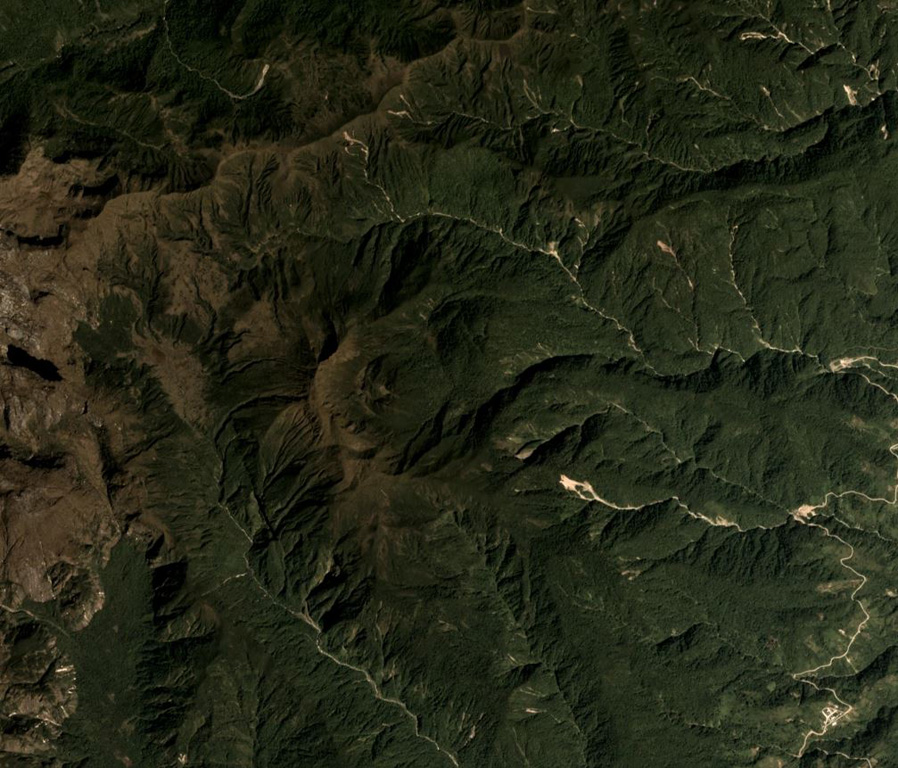
Volcán el Soche, a small stratovolcano near the Colombia border, is the northernmost of a chain of Ecuadorian volcanoes east of the principal volcanic axis. This dominantly dacitic volcano was constructed over Paleozoic rocks and has a summit caldera open to the E. A major explosive eruption took place during the early Holocene at about 8600 years BP, depositing tephra NW into Colombia. The ejection of voluminous dacitic airfall pumice and pyroclastic flows was followed by the formation of two lava domes in the caldera.
Wikipedia の要約
英語版の要約Soche is a 3,955-metre-high (12,976 ft) dacitic volcano in Ecuador and is located on the northern end of a secondary volcanic chain. Constructed on a Paleozoic substratum, it contains an eastwards-opening caldera in the summit region. A large eruption in 6650 BCE generated ashfall into Colombia and two lava domes in the caldera. The ash- and lapilli-fall is about a metre thick in the Interandean valley and the neighbouring cordilleras and most likely represented a long-lasting obstacle for human population. Earlier eruptive events involving a lava flow that was subsequently offset by a fault zone named the Cayambe-Chingual fault by 110m occurred 9.67 ka BP, and another involving a pyroclastic flow was dated at 37.22 ± 0.63 ka BP.
Wikipedia · CC BY-SA · 記事全文を読む →
噴火履歴
1件の記録用語集詳細タイムライン
- 紀元前 6650年VEI 5地質学的推定紀元前 6650 ~ 終了日不明
近くの火山
外部リンク
⚠ 参考情報です。緊急対応には使用しないでください。