ペルー · 成層火山
ワイナプチナ
Huaynaputina
- タイプ
- 成層火山
- 標高
- 4679m
- 最終噴火
- 1600年
- タイプ
- 成層火山
- 国
- ペルー
- 地域
- 南アメリカ / Central Andean Volcanic Arc
- 標高
- 4679m
- 座標
- -16.614, -70.854
- 最終噴火
- 1600年
- テクトニクス環境
- 沈み込み帯 / 大陸地殻 (> 25 km)
- 火山地形
- 複成火山
- 主要岩石
- デイサイト
地質学的概要
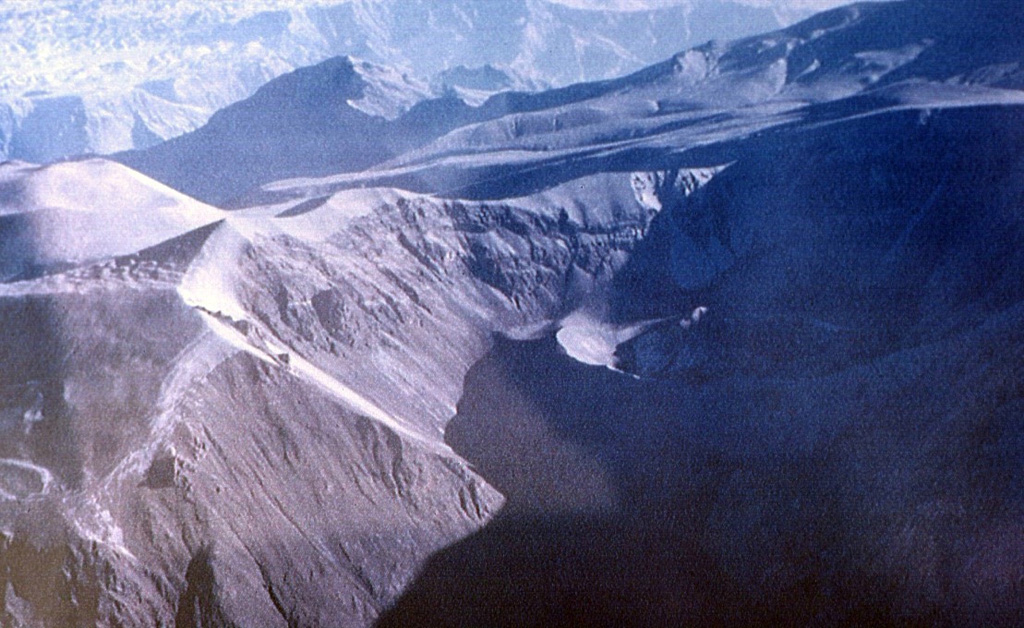
Huaynaputina (whose name means "new volcano") was the source of the largest historical eruption of South America in 1600 CE. It has no prominent topographic expression and lies within a 2.5-km-wide collapse depression and further excavated by glaciers within a Tertiary to Pleistocene edifice. Three overlapping ash cones with craters up to 100 m deep were constructed during the 1600 CE eruption on the floor of the older crater, whose outer flanks are heavily mantled by ash deposits from the 1600 eruption. This powerful fissure-fed eruption may have produced nearly 30 km3 of dacitic tephra, including pyroclastic flows and surges that traveled 13 km to the E and SE. Lahars reached the Pacific Ocean, 120 km away. The eruption caused substantial damage to the major cities of Arequipa and Moquengua.
Wikipedia の要約
英語版の要約Huaynaputina is a volcano in a volcanic high plateau in southern Peru. Lying in the Central Volcanic Zone of the Andes, it was formed by the subduction of the oceanic Nazca Plate under the continental South American Plate. Huaynaputina is a large volcanic crater, which lacks an identifiable mountain profile, with an outer stratovolcano and three younger volcanic vents within an amphitheatre-shaped structure that is either a former caldera or a remnant of glacial erosion. The volcano has erupted dacitic magma.
Wikipedia · CC BY-SA · 記事全文を読む →
噴火履歴
2件の記録用語集詳細タイムライン
- 1600年VEI 6観測記録1600-02-17 ~ 1600-03-06Summit and south flank
- 紀元前 7750年 (±200年)VEI ?地質学的推定紀元前 7750 ~ 終了日不明
近くの火山
外部リンク
⚠ 参考情報です。緊急対応には使用しないでください。