本文へスキップ
地図に戻る
比較地図で見る

チリ · マール

Cerro Tujle

Tujle, Cerro

タイプ
マール
標高
3550m
最終噴火
不明
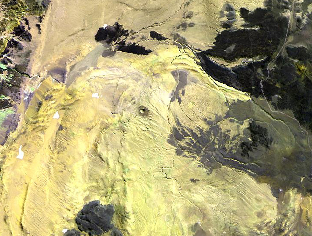
The small dot near the center of this Landsat image is the Cerro Tujle maar (also known as Cerro Tucle or Cerro Tugle).  The Holocene maar has a 60-m-deep crater and is surrounded by a dark-colored ejecta blanket.  The maar is located SE of the Salar de Atacama, north of Cerro Toloncha.
The small dot near the center of this Landsat image is the Cerro Tujle maar (also known as Cerro Tucle or Cerro Tugle). The Holocene maar has a 60-m-deep crater and is surrounded by a dark-colored ejecta blanket. The maar is located SE of the Salar de Atacama, north of Cerro Toloncha. · 写真: NASA Landsat image, 1999 (courtesy of Hawaii Synergy Project, Univ. of Hawaii Institute of Geophysics & Planetology).
タイプ
マール
国
チリ
地域
南アメリカ / Central Andean Volcanic Arc
標高
3550m
座標
-23.830, -67.950
最終噴火
不明
テクトニクス環境
沈み込み帯 / 大陸地殻 (> 25 km)
火山地形
小規模
主要岩石
データなし
地質学的概要

The Cerro Tujle maar (also known as Cerro Tucle or Cerro Tugle) in the Cordón de Tujle has a 60-m-deep crater (de Silva and Francis, 1991). The maar is located SE of the Salar de Atacama, N of Cerro Toloncha.

噴火履歴

用語集

詳細タイムライン

噴火記録はありません。

近くの火山

外部リンク

⚠ 参考情報です。緊急対応には使用しないでください。