アルゼンチン · 火砕丘
Unnamed volcano
Central Andean Arc at 25.1°S
- タイプ
- 火砕丘
- 標高
- 4652m
- 最終噴火
- 不明
- タイプ
- 火砕丘
- 国
- アルゼンチン
- 地域
- 南アメリカ / Central Andean Volcanic Arc
- 標高
- 4652m
- 座標
- -25.078, -68.266
- 最終噴火
- 不明
- テクトニクス環境
- 沈み込み帯 / 大陸地殻 (> 25 km)
- 火山地形
- 小規模
- 主要岩石
- 安山岩 / 玄武岩質安山岩
地質学的概要
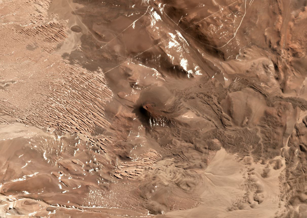
An isolated basaltic andesite cinder cone was constructed on top of Miocene ignimbrites and lava flows between the Corrida de Cori range on the Chile/Argentina border and the Salar Río Grande in Argentina. Blocky lava flows from the cone descended in a broad lobe to the SE and in a narrow tongue to the E nearly to the Salar Río Grande. A second smaller vent lies about 800 m NW of the cinder cone. The relatively fluid lava flows display surficial breadcrust textures and were considered by Richards and Villeneuve (2002) to be very young, possibly of Holocene age.
噴火履歴
用語集詳細タイムライン
噴火記録はありません。
近くの火山
外部リンク
- 日本語版Wikipediaには未登録です。Wikidataで作成できます。
- Smithsonian GVP 原典ページ
⚠ 参考情報です。緊急対応には使用しないでください。