チリ · 火山原
Cayutue-La Vigueria
- タイプ
- 火山原
- 標高
- 506m
- 最終噴火
- -190年
- タイプ
- 火山原
- 国
- チリ
- 地域
- 南アメリカ / Southern Andean Volcanic Arc
- 標高
- 506m
- 座標
- -41.300, -72.270
- 最終噴火
- -190年
- テクトニクス環境
- 沈み込み帯 / 大陸地殻 (> 25 km)
- 火山地形
- 火山群
- 主要岩石
- 玄武岩 / ピクライト質玄武岩
地質学的概要
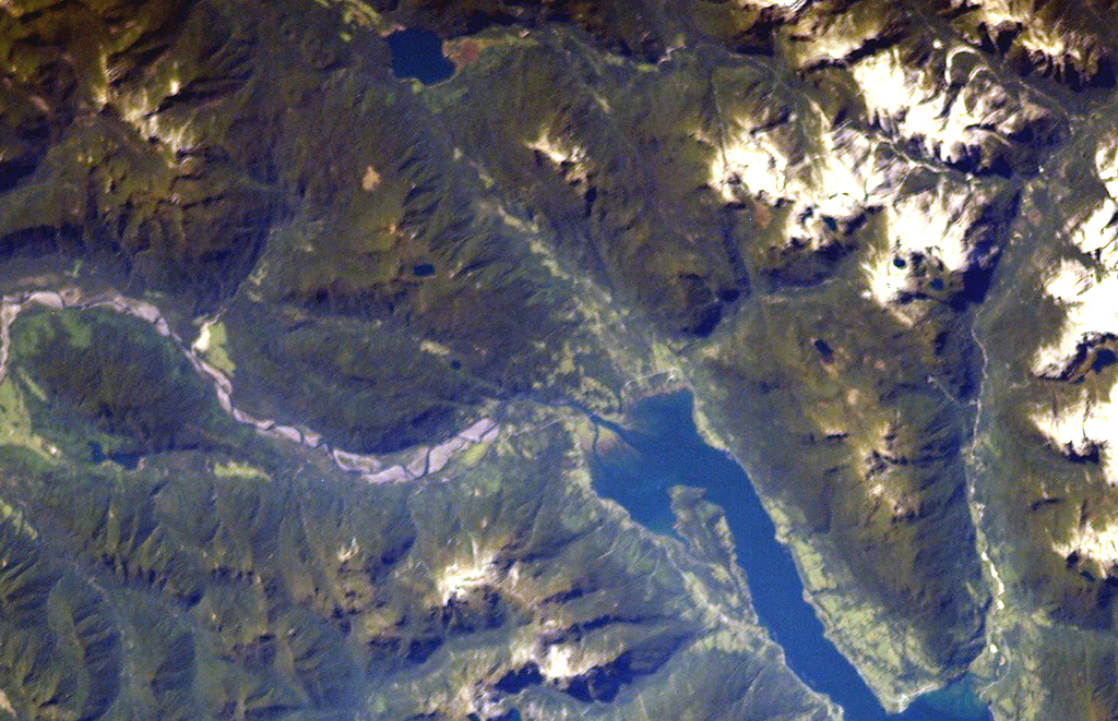
The Cayutué-La Viguería volcanic field consists of about 20 basaltic maars and cinder cones of Holocene age along the N-S-trending Liquiñe-Ofqui fault zone. The field occupies a low-lying area between the southern end of Ensenada Cayutué (the southern extension of Lake Todos los Santos) and the northern end of the Estuario Reloncaví. La Viguería and Volcán Cayutué are the principal cones. Formation of La Viguería and associated lava flows temporarily dammed the Río Petrohué about 3,000 years ago, forming an ephemeral lake that was filled with deposits from Calbuco and Osorno volcanoes. Pyroclastic cones and lava flows filled the Ensenada de Cayutué depression, separating Lake Todos los Santos from Ralún Bay.
噴火履歴
1件の記録用語集詳細タイムライン
- 紀元前 190年 (±190年)VEI ?地質学的推定紀元前 190 ~ 終了日不明La Viguería
近くの火山
外部リンク
- 日本語版Wikipediaには未登録です。Wikidataで作成できます。
- Smithsonian GVP 原典ページ
⚠ 参考情報です。緊急対応には使用しないでください。