ポルトガル · 楯状火山
Dom João de Castro Bank
Don Joao de Castro Bank
- タイプ
- 楯状火山
- 標高
- 13m (海底)
- 最終噴火
- 1720年
- タイプ
- 楯状火山
- 国
- ポルトガル
- 地域
- 大西洋 / Azores-Terceira Rift Volcanic Province
- 標高
- 13m (海底)
- 座標
- 38.230, -26.630
- 最終噴火
- 1720年
- テクトニクス環境
- リフト帯 / 海洋地殻 (< 15 km)
- 火山地形
- 楯状火山
- 主要岩石
- 玄武岩 / ピクライト質玄武岩
地質学的概要
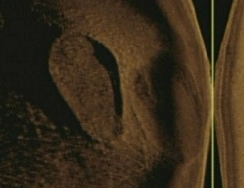
Don Joao de Castro Bank is a large submarine volcano that rises to within 13 m of the ocean surface roughly halfway between Terceira and San Miguel Islands. Pillow lavas form the base of the volcano, which is capped by basaltic hyaloclastites. A submarine eruption during December 1720 produced an ephemeral island that attained a length of 1.5 km and a height of about 250 m before it was eroded beneath the surface two years later. The volcano (also spelled Dom Joao de Castro) was named after the Portuguese hydrographic survey vessel that surveyed the bank in 1941. Two youthful craters, one tephra covered and the other sediment free, are located on the NW flank. The submarine volcano has a shallow fumarole field and remains seismically active.
Wikipedia の要約
英語版の要約Dom João de Castro Bank is a large submarine volcano located in the central north Atlantic Ocean, between the islands of São Miguel and Terceira in the archipelago of the Azores.
Wikipedia · CC BY-SA · 記事全文を読む →
噴火履歴
2件の記録用語集詳細タイムライン
- 1997年VEI 0根拠の記載なし1997-06-27 ~ 1997-07-16NW of Don Joao de Castro Bank
- 1720年VEI 3観測記録1720-12-08 ~ 1720-12-26
近くの火山
外部リンク
⚠ 参考情報です。緊急対応には使用しないでください。