인도네시아 · 성층화산
파투하산
Patuha
- 화산 유형
- 성층화산
- 해발
- 2422m
- 마지막 분화
- 미확인
- 화산 유형
- 성층화산
- 국가
- 인도네시아
- 지역
- 순다·반다 / Sunda Volcanic Arc
- 해발
- 2422m
- 좌표
- -7.162, 107.400
- 마지막 분화
- 미확인
- 판구조 환경
- 섭입대 / 대륙 지각 (> 25 km)
- 화산 지형
- 복성화산체
- 주요 암석
- 안산암 / 현무암질 안산암
지질학적 요약
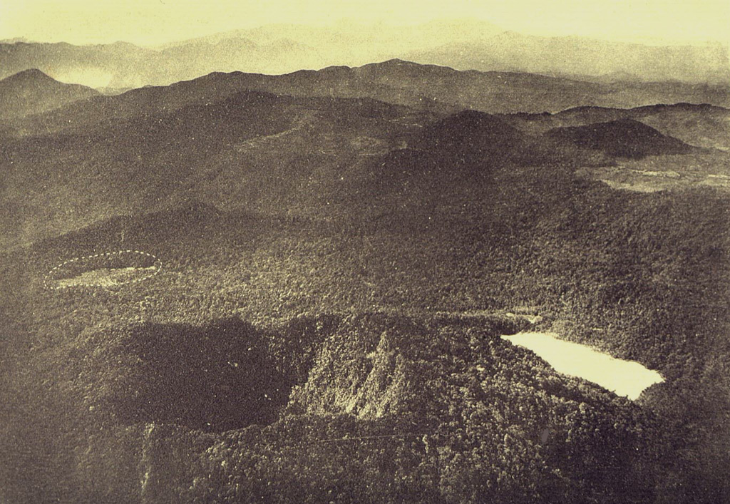
The forested andesitic Gunung Patuha rises SW of the plain of Bandung in western Java. Patuha is the northern peak of a roughly 5-km-long N-S volcanic massif, and has a 300 m crater at the summit. A few hundred meters down the SE flank is a 400 x 500 m crater almost completely filled with a shallow greenish lake, Kawah Putih. Sulfur deposits are present around the shoreline and near active fumaroles on the crater walls. A large debris-avalanche deposit extends down the NE flank. The volcano was formed during the late Pleistocene, but no Holocene eruptions are known.
Wikipedia 요약
영어 요약Mount Patuha is a twin stratovolcano about 50 km to the southwest of Bandung in West Java, Indonesia. It is located in the Bandung District of West Java. It is one of numerous volcanoes in this area; others in the region include Mount Malabar, Mount Wayang, and Mount Papandayan.
Wikipedia · CC BY-SA · 전체 기사 보기 →
분화 이력
용어집상세 타임라인
분화 기록이 없습니다.
주변 화산
외부 링크
⚠ 참고용 정보입니다. 재난 대응에 사용하지 마세요.