러시아 · 화산군
Sedankinsky
Sedanka Lava Field
- 화산 유형
- 화산군
- 해발
- 1399m
- 마지막 분화
- -7050년
- 화산 유형
- 화산군
- 국가
- 러시아
- 지역
- 북서태평양 / Central Kamchatka Volcanic Arc
- 해발
- 1399m
- 좌표
- 57.317, 160.067
- 마지막 분화
- -7050년
- 판구조 환경
- 섭입대 / 대륙 지각 (> 25 km)
- 화산 지형
- 화산군
- 주요 암석
- 현무암 / 피크로현무암
지질학적 요약
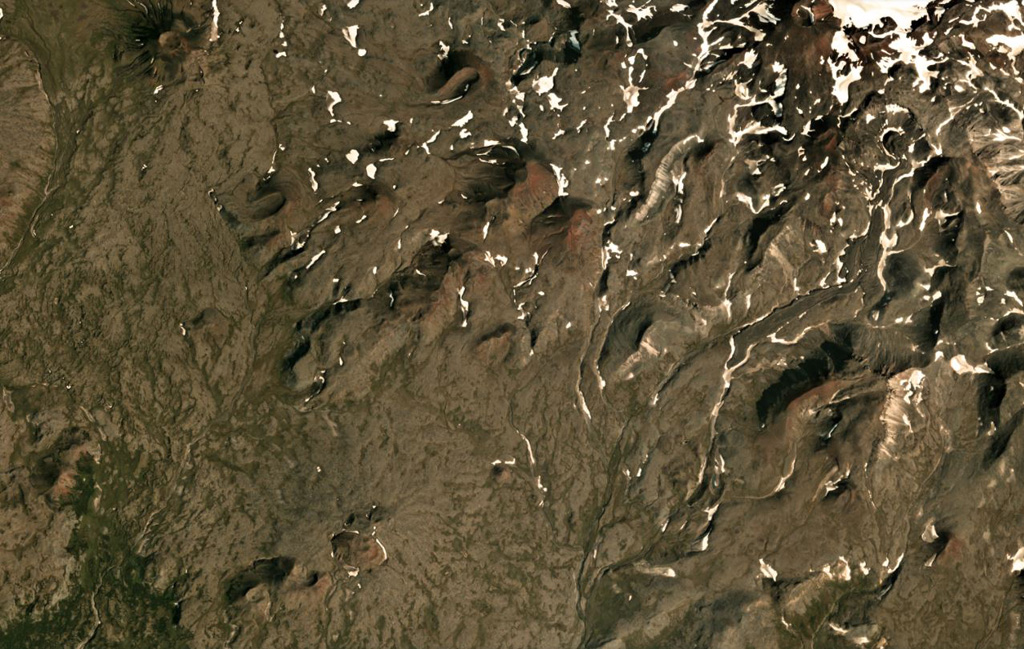
The Sedanka lava field (Sedanka Dol) is located immediately west of the Sredinny Range axis and is formed by dominantly mafic lavas from small strato- and shield-like volcanoes, along with more than 100 cinder and lava cones of the late Pleistocene-Holocene age. For this compilation the volcanic field area is considered to be up to 10 km wide and stretching about 25 km from south of Gorny Institute volcano towards the NNW between Tuzovsky volcano to the SW and Titila to the NE. Other workers (eg. Nekrylov et al., 2015) define the field to include the eight large edifices from Terpuk on the SW to Shishel on the NE.
분화 이력
1건 기록용어집요약 (VEI 시계열)
막대를 클릭하면 개별 분화가 표시됩니다 · 화살표 키로 막대 이동, Enter로 열기
상세 타임라인
- 기원전 7050년 (±1000년)VEI ?지질학적 추정기원전 7050 ~ 종료일 미상
주변 화산
외부 링크
- 한국어 Wikipedia에 아직 기사가 없습니다. Wikidata에서 작성할 수 있습니다.
- Smithsonian GVP 원본 페이지
⚠ 참고용 정보입니다. 재난 대응에 사용하지 마세요.