해저 지형 · 열극 분화구
Southern EPR-Segment J
Southern EPR at 18.2°S (Segment J)
- 화산 유형
- 열극 분화구
- 해발
- 2650m (해저)
- 마지막 분화
- 1890년
- 화산 유형
- 열극 분화구
- 국가
- 해저 지형
- 지역
- 남태평양 / Southern East Pacific Rise Volcanic Province
- 해발
- 2650m (해저)
- 좌표
- -18.175, -113.350
- 마지막 분화
- 1890년
- 판구조 환경
- 열곡대 / 해양 지각 (< 15 km)
- 화산 지형
- 화산군
- 주요 암석
- 현무암 / 피크로현무암
지질학적 요약
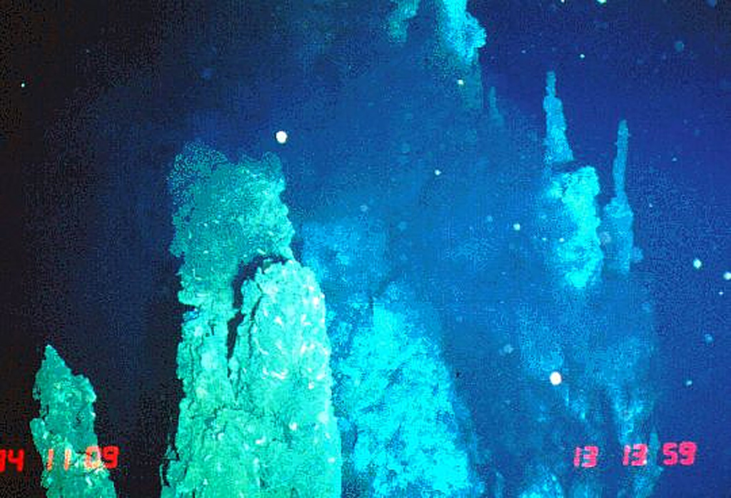
The axial crest of Segment J of the Southern East Pacific Rise consists of an asymmetrical shallow graben varying from 250 to 600 m wide with walls about 20 m high. Horst and graben structures expose cooled lava lakes and both active and extinct hydrothermal chimneys. Basaltic lava flow fields, lava pillars, and pillow mounds are found on the floor of the graben. The largest lava flow field is the Moai lava flow at about 18°12'S. Two lava flows have been dated by paleomagnetic evidence at about 1820 and 1890 CE.
분화 이력
2건 기록용어집요약 (VEI 시계열)
막대를 클릭하면 개별 분화가 표시됩니다 · 화살표 키로 막대 이동, Enter로 열기
상세 타임라인
- 1890년VEI 0지질학적 추정1890-07-02 ~ 종료일 미상
- 1820년VEI 0지질학적 추정1820-07-02 ~ 종료일 미상
주변 화산
외부 링크
- 한국어 Wikipedia에 아직 기사가 없습니다. Wikidata에서 작성할 수 있습니다.
- Smithsonian GVP 원본 페이지
⚠ 참고용 정보입니다. 재난 대응에 사용하지 마세요.