멕시코 · 화산군
Zitácuaro-Valle de Bravo
Zitacuaro-Valle de Bravo
- 화산 유형
- 화산군
- 해발
- 3500m
- 마지막 분화
- -3050년
- 화산 유형
- 화산군
- 국가
- 멕시코
- 지역
- 중앙아메리카·카리브해 / Trans-Mexican Volcanic Arc
- 해발
- 3500m
- 좌표
- 19.400, -100.250
- 마지막 분화
- -3050년
- 판구조 환경
- 섭입대 / 대륙 지각 (> 25 km)
- 화산 지형
- 화산군
- 주요 암석
- 데사이트
지질학적 요약
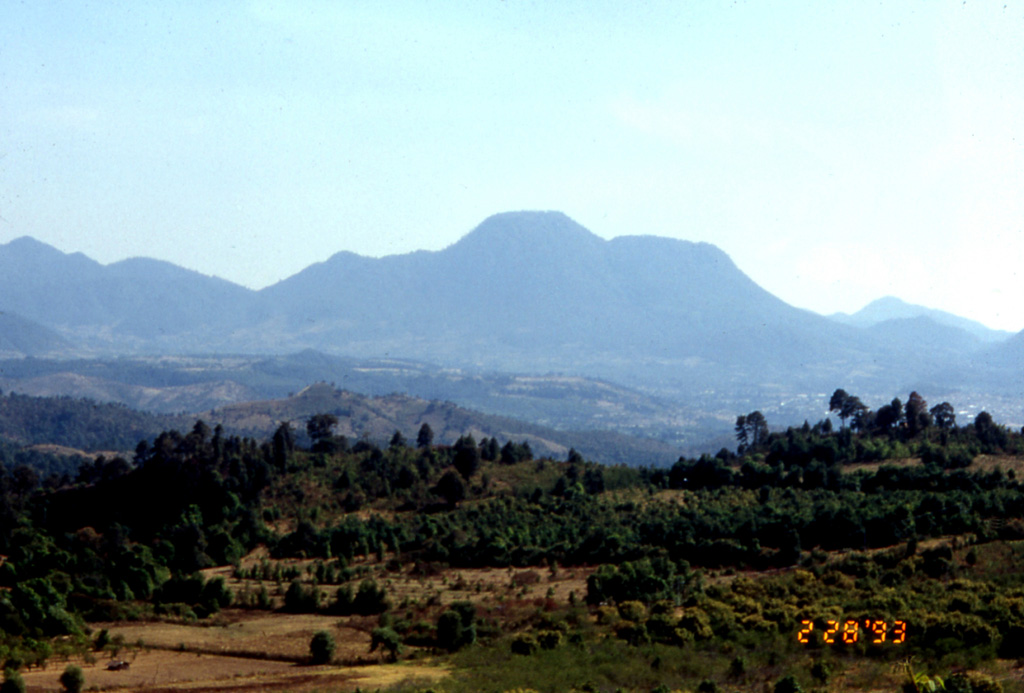
The Zitácuaro-Valle de Bravo volcanic field in the central part of the Trans-Mexican Volcanic Belt consists of a broad region of shield volcanoes, lava domes, and cinder cones surrounding the city of Heroica de Zitácuaro. The Zitácuaro volcanic complex itself, located SE of the city, was constructed within the 30-km-wide Las Tres Chicas caldera of Miocene age, which later underwent three post-caldera episodes of intra-caldera lava dome resurgence and included the intrusion of dacitic central lava domes, the emplacement of pyroclastic flows, and the eruption of andesitic lava flows. The youngest dated activity at the complex produced La Dieta airfall deposit about 31,000 years ago, and persistent local seismicity continues at Zitácuaro. The Valle de Bravo area to the south contains dominantly andesitic lava domes and flows, many of which were erupted along regional faults. The youngest flows were erupted at the bottom of a fault-controlled canyon; the most recent of these, west of the Valle de Bravo lake, has been Ar-Ar dated at about 5,200 +/- 2,300 years, and morphology suggests a Holocene age for other cones.
분화 이력
1건 기록용어집상세 타임라인
- 기원전 3050년 (±2000년)VEI 0지질학적 추정기원전 3050 ~ 종료일 미상West of Valle de Bravo
주변 화산
외부 링크
- 한국어 Wikipedia에 아직 기사가 없습니다. Wikidata에서 작성할 수 있습니다.
- Smithsonian GVP 원본 페이지
⚠ 참고용 정보입니다. 재난 대응에 사용하지 마세요.