남극 대륙 · 성층화산
Buckle Island
- 화산 유형
- 성층화산
- 해발
- 1239m
- 마지막 분화
- 1899년
- 화산 유형
- 성층화산
- 국가
- 남극 대륙
- 지역
- 남극·스코샤 / Balleny Hotspot Volcano Group
- 해발
- 1239m
- 좌표
- -66.780, 163.250
- 마지막 분화
- 1899년
- 판구조 환경
- 열곡대 / 해양 지각 (< 15 km)
- 화산 지형
- 복성화산체
- 주요 암석
- 조면현무암 / 테프라이트 바사나이트
지질학적 요약
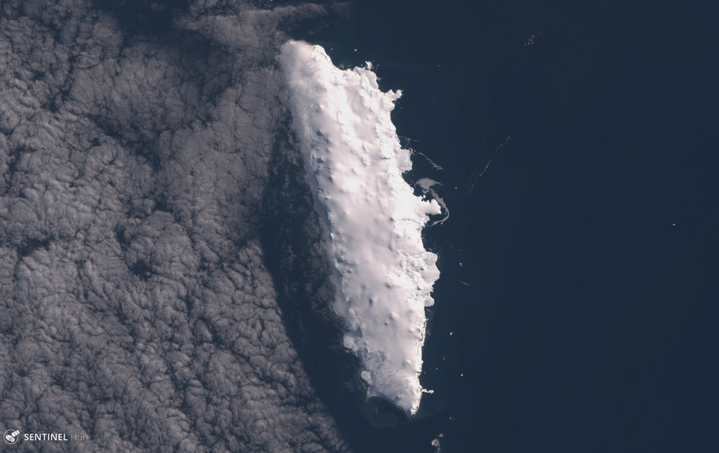
Buckle Island is in the center of a 160-km-long chain of volcanic islands forming the Balleny Islands off the coast of Antarctica's Victoria Land. The islands are located at the southern end of a submarine ridge system that extends north to New Zealand, but is offset by the Indian-Antarctic ridge system. The elongated, 21-km-long island is capped by an gently sloping icecap that descends steeply to the sea between rocky cliffs. Dark eruption columns were reported during 1839 and 1899, but no detailed geological studies exist for the Balleny Islands volcanoes.
Wikipedia 요약
영어 요약Buckle Island is one of the three main islands in the uninhabited Balleny Islands group located in the Southern Ocean. It lies 25 km (16 mi) north-west of Sturge Island and 8 km (5 mi) south-east of Young Island, some 110 km (68 mi) north-north-east of Belousov Point on the Antarctic mainland.
Wikipedia · CC BY-SA · 전체 기사 보기 →
분화 이력
2건 기록용어집상세 타임라인
- 1899년VEI 2관측 기록1899-01-12 ~ 종료일 미상
- 1839년VEI 2관측 기록1839-02-09 ~ 종료일 미상
주변 화산
외부 링크
⚠ 참고용 정보입니다. 재난 대응에 사용하지 마세요.