남극 대륙 · 성층화산
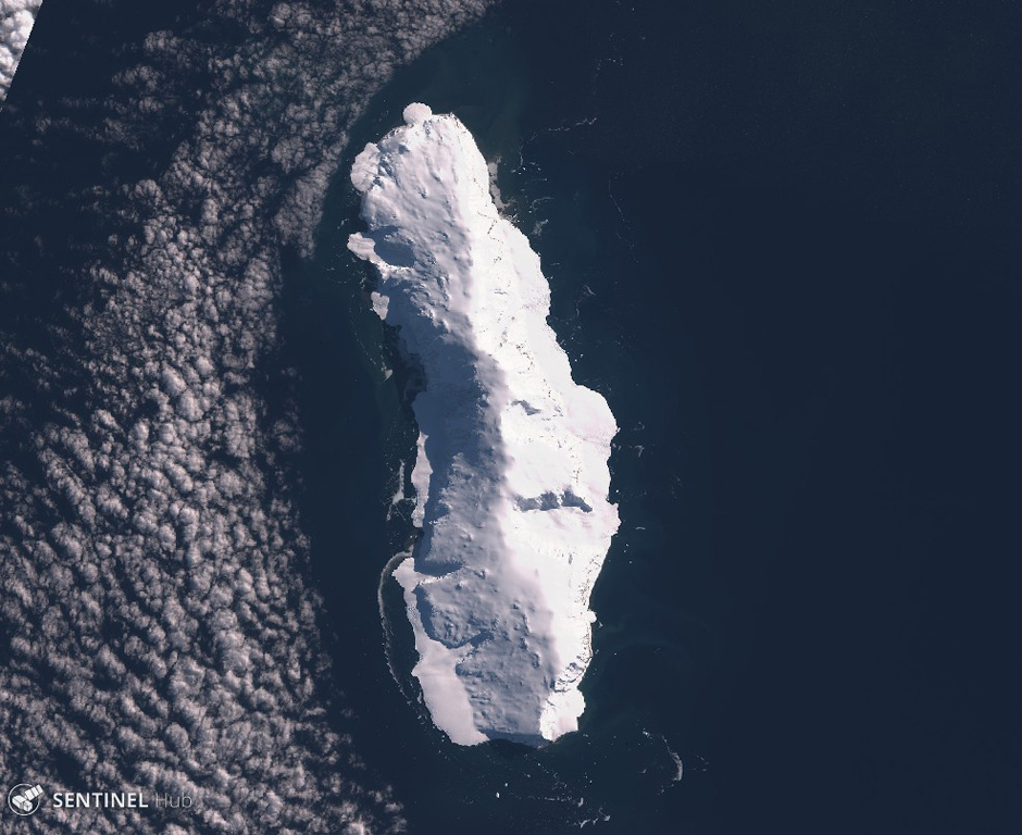
Sturge Island
- 화산 유형
- 성층화산
- 해발
- 1167m
- 마지막 분화
- 미확인
- 화산 유형
- 성층화산
- 국가
- 남극 대륙
- 지역
- 남극·스코샤 / Balleny Hotspot Volcano Group
- 해발
- 1167m
- 좌표
- -67.400, 164.830
- 마지막 분화
- 미확인
- 판구조 환경
- 열곡대 / 해양 지각 (< 15 km)
- 화산 지형
- 복성화산체
- 주요 암석
- 조면현무암 / 테프라이트 바사나이트
지질학적 요약
Sturge is the largest and southernmost of the Balleny Islands, which are located just off the coast of Antarctica's Victoria Land. The 44-km-long island is completely mantled by an icecap and has a prominent summit, Russel Peak, at the northern end. "Volcanic activity" was reported on a U.S. Navy chart, but no indications of present or past activity were noted in 1959 (Catalog of Active Volcanoes of the World). No detailed geologic studies have been conducted in the inaccessible Balleny Islands.
Wikipedia 요약
영어 요약Sturge Island is one of the three main islands in the uninhabited Balleny Islands group located in the Southern Ocean. It lies 25 km (16 mi) southeast of Buckle Island and 95 km (59 mi) north-east of Belousov Point on the Antarctic mainland. The island also forms part of the Ross Dependency, claimed by New Zealand.
Wikipedia · CC BY-SA · 전체 기사 보기 →
분화 이력
용어집상세 타임라인
분화 기록이 없습니다.
주변 화산
외부 링크
⚠ 참고용 정보입니다. 재난 대응에 사용하지 마세요.