Eritrea · Stratovolcano
Dubbi Volcano
Dubbi
- Type
- Stratovolcano
- Elevation
- 1625m
- Last eruption
- 1861
- Type
- Stratovolcano
- Country
- Eritrea
- Region
- Eastern Africa / Afar Rift Volcanic Province
- Elevation
- 1625m
- Coordinates
- 13.579, 41.809
- Last eruption
- 1861
- Tectonic setting
- Rift zone / Intermediate crust (15-25 km)
- Landform
- Composite
- Major rock type
- Basalt / Picro-basalt
Geological summary
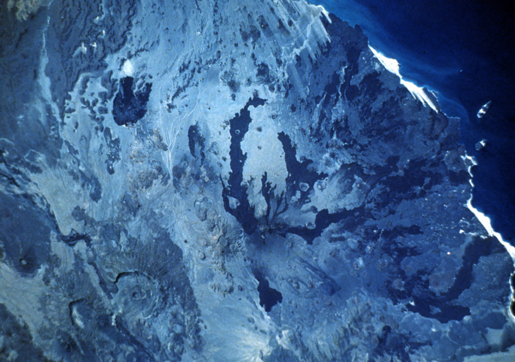
Dubbi, located east of the Erta Ale Range and south of the crystalline basement rocks of the Danakil Alps, is a large volcanic massif that rises above the western shore of the Red Sea. About 20 small cinder cones are located at the summit, and extensive basaltic lava fields to the north and NE, known as the Edd lava field, cover an area of 2700 km2 and reach the Red Sea coast. The two most-recent eruptive centers are fissure systems that extend NW-SE and NNE-SSW. The former produced lava flows that reached the Red Sea in 1400 CE. The second created 19 small craters at the summit in 1861. Ash fell more than 300 km from the volcano. Two villages were destroyed and more than 100 people were killed during Africa's largest eruption in historical time. Lava flows from the 1861 eruption traveled as far as 22 km and reached the coast.
From Wikipedia
The Dubbi Volcano is a stratovolcano located in the Southern Red Sea Region of Eritrea. Its peak elevation is 1,625 m (5,331 ft). There have been four known eruptions. In 1400 lava was determined to have reached the Red Sea while in 1861 ash was thrown over 250 km (160 mi) from the volcano. Two further events were suspected between 1861 and the 20th century.
Wikipedia · CC BY-SA · Read full article →
Eruption history
4 recordedGlossaryDetailed timeline
- 1900VEI ?Method not stated1900-07-02 – end unknown
- 1863VEI 2Method not stated1863-07-02 – end unknown
- 1861VEI 3Observed1861-05-08 – 1861-10-16
- 1400VEI 2Observed1400-07-15 – end unknown
Nearby volcanoes
External links
⚠ For reference only. Not for emergency response.