Kenya · Shield volcano
Emuruangogolak
- Type
- Shield volcano
- Elevation
- 1285m
- Last eruption
- 1910
- Type
- Shield volcano
- Country
- Kenya
- Region
- Eastern Africa / Kenyan Rift Volcanic Province
- Elevation
- 1285m
- Coordinates
- 1.500, 36.330
- Last eruption
- 1910
- Tectonic setting
- Rift zone / Continental crust (> 25 km)
- Landform
- Shield
- Major rock type
- Trachyte / Trachydacite
Geological summary
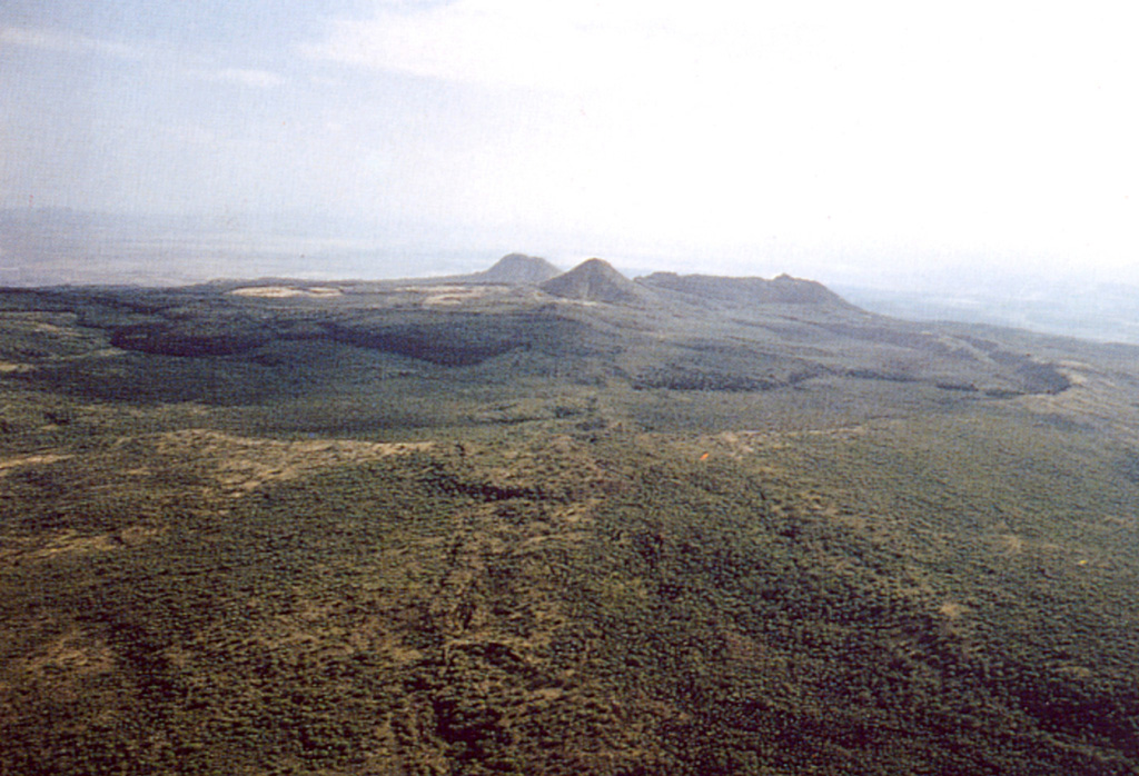
The broad Emuruangogolak shield volcano is situated at a narrow constriction in the Gregory Rift and almost completely straddles it. A 5 x 3.5 km summit caldera formed about 38,000 years ago. Since then trachytic and basaltic lava flows were erupted on the northern and southern flanks and within the caldera. A NNE-SSW-trending chain of lake-filled basaltic maars extends along the floor of the rift from the lower flanks of the volcano. Young lava flows were also erupted from vents along rift valley faults. Well-preserved cones erupted along rift-parallel faults cutting the volcano; the latest eruption produced a trachytic lava flow dated from secular magnetic variation measurements at about the beginning of the 20th century. Fumarolic activity and hot steaming ground occurs along NNE-trending fissures within the caldera and along the lower NW flanks.
Eruption history
8 recordedGlossaryDetailed timeline
- 1910 (±50 yrs)VEI 0Geological estimate1910-07-02 – end unknownSouth caldera rim
- 1700 (±100 yrs)VEI 0Geological estimate1700 – end unknownSouth caldera rim
- 1300 (±150 yrs)VEI 0Geological estimate1300 – end unknownNE flank
- 1230 (±150 yrs)VEI 0Geological estimate1230 – end unknownNE flank
- 1160 (±150 yrs)VEI 0Geological estimate1160 – end unknownNE flank
- 1120 (±150 yrs)VEI 0Geological estimate1120 – end unknownNorth flank
- 6550 BCE (±1500 yrs)VEI ?Geological estimate6550 BCE – end unknownNorth flank
- 8050 BCE (±1000 yrs)VEI ?Geological estimate8050 BCE – end unknownNorth flank
Nearby volcanoes
External links
⚠ For reference only. Not for emergency response.