Kenya · Shield volcano
Korosi
- Type
- Shield volcano
- Elevation
- 1446m
- Last eruption
- Unknown
- Type
- Shield volcano
- Country
- Kenya
- Region
- Eastern Africa / Kenyan Rift Volcanic Province
- Elevation
- 1446m
- Coordinates
- 0.770, 36.120
- Last eruption
- Unknown
- Tectonic setting
- Rift zone / Continental crust (> 25 km)
- Landform
- Shield
- Major rock type
- Trachyte / Trachydacite
Geological summary
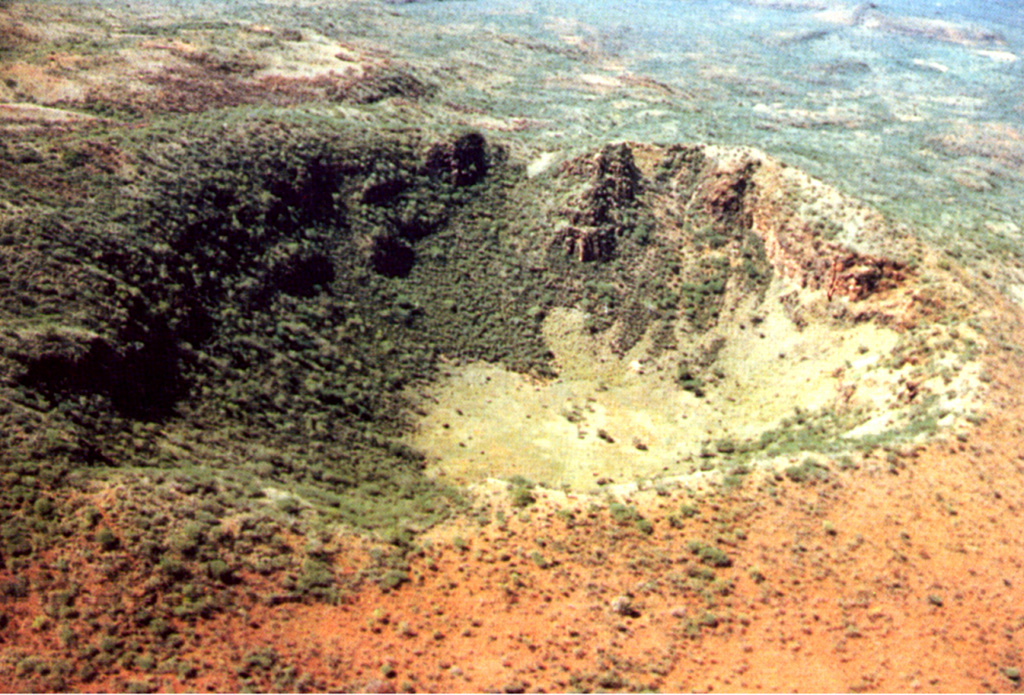
The trachytic Korosi shield volcano lies at the N end of Lake Baringo. Unlike other rift valley volcanoes, it does not contain a summit caldera.
Excerpt from the Global Volcanism Program, Smithsonian Institution · Read the full summary on GVP →
From Wikipedia
Korosi is a shield volcano located in the Gregory Rift at the northern end of Lake Baringo, Kenya.
Wikipedia · CC BY-SA · Read full article →
Eruption history
GlossaryDetailed timeline
No eruption records available.
Nearby volcanoes
External links
⚠ For reference only. Not for emergency response.