Kenya · Stratovolcano
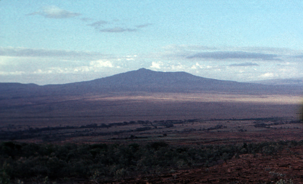
Mount Longonot
Longonot
- Type
- Stratovolcano
- Elevation
- 2776m
- Last eruption
- 1863
- Type
- Stratovolcano
- Country
- Kenya
- Region
- Eastern Africa / Kenyan Rift Volcanic Province
- Elevation
- 2776m
- Coordinates
- -0.914, 36.446
- Last eruption
- 1863
- Tectonic setting
- Rift zone / Continental crust (> 25 km)
- Landform
- Composite
- Major rock type
- Trachyte / Trachydacite
Geological summary
The trachytic Longonot stratovolcano SE of Lake Naivasha in the Gregory Rift valley contains a 8 x 12 km caldera. Formation of the caldera accompanied large explosive eruptions about 21,000 years ago. A large central cone that was constructed within the caldera, which forms the summit, is truncated by a circular, 1.8-km-wide crater. Post-caldera lavas are found on the caldera floor and the volcano's flanks, marking a late stage of effusive eruptions. A well-preserved satellitic cone is located on the NE flank. Masai tradition records a lava flow on the N flank during the 19th century. Similarly youthful-looking lava flows occur on the SW flank.
Eruption history
3 recordedGlossarySummary (VEI over time)
Click a bar to see individual eruptions · Use arrow keys to move between bars, Enter to open
Detailed timeline
- 1863 (±5 yrs)VEI 0Geological estimate1863-07-02 – end unknownNorthern flank
- 1330 BCE (±100 yrs)VEI ?Geological estimate1330 BCE – end unknown
- 7200 BCE (±100 yrs)VEI ?Geological estimate7200 BCE – end unknown
Nearby volcanoes
External links
⚠ For reference only. Not for emergency response.