Papua New Guinea · Complex volcano
St. Andrew Strait
- Type
- Complex volcano
- Elevation
- 270m
- Last eruption
- 1957
- Type
- Complex volcano
- Country
- Papua New Guinea
- Region
- Southwestern Pacific / Bismarck Sea Volcanic Province
- Elevation
- 270m
- Coordinates
- -2.380, 147.350
- Last eruption
- 1957
- Tectonic setting
- Subduction zone / Oceanic crust (< 15 km)
- Landform
- Composite
- Major rock type
- Rhyolite
Geological summary
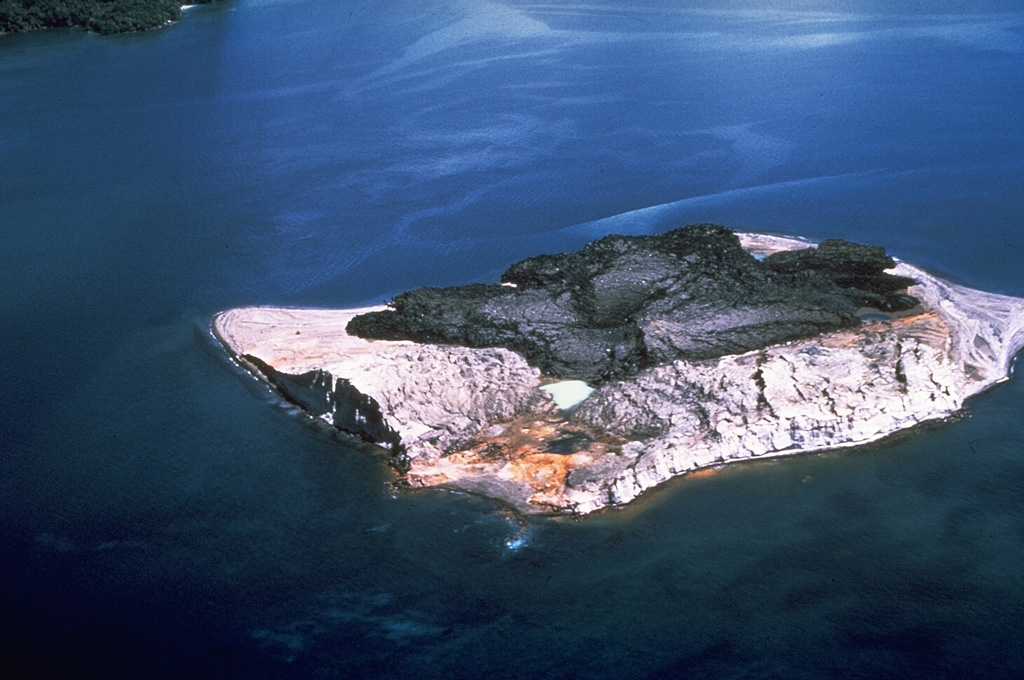
The St. Andrew Strait volcano, located in the Admiralty Islands north of Papua New Guinea, consists of a series of overlapping Quaternary cones formed by rhyolitic lava flows and pyroclastic materials on Lou and Tuluman Islands. Volcanism is aligned on a curved arc extending through the 12-km-long Lou Island. The Tuluman Islands, 1.5 km S of Lou Island, were formed during a 1953-1957 eruption. Pam Lin and Pam Mandian Islands farther to the SE along the same arc contain fresh rhyolitic obsidian similar to that found on Tuluman.
Eruption history
5 recordedGlossarySummary (VEI over time)
Click a bar to see individual eruptions · Use arrow keys to move between bars, Enter to open
Detailed timeline
- 1953VEI 2Observed1953-06-27 – 1957-01-28Tuluman
- 1931VEI 0Method not stated1931-07-02 – end unknownTuluman (?)
- 1883VEI 2Observed1883-03-28 – end unknownTuluman
- 350VEI ?Geological estimate350 – end unknownLou Island (Bedal volcano)
- 240 BCE (±100 yrs)VEI ?Geological estimate240 BCE – end unknownLou Island (Bedal volcano)
Nearby volcanoes
External links
⚠ For reference only. Not for emergency response.