Papua New Guinea · Stratovolcano
Hargy
- Type
- Stratovolcano
- Elevation
- 1148m
- Last eruption
- 950
- Type
- Stratovolcano
- Country
- Papua New Guinea
- Region
- Southwestern Pacific / Bismarck Volcanic Arc
- Elevation
- 1148m
- Coordinates
- -5.330, 151.100
- Last eruption
- 950
- Tectonic setting
- Subduction zone / Continental crust (> 25 km)
- Landform
- Composite
- Major rock type
- Dacite
Geological summary
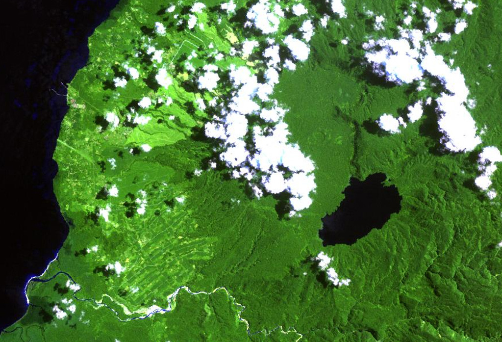
This little-known volcano is one of several major calderas on the island of New Britain. The 10 x 12 km Hargy caldera, whose floor is 150 m above sea level, contains an inner caldera with a steep west-facing wall. A caldera lake on the SE side drains through a narrow gap in the northern caldera wall. The latest caldera-forming eruption of Hargy volcano took place about 11,000 years ago. The dacitic Galloseulo lava cone rises above and partially overtops the western rim of the caldera. A double crater occupies a larger 700-m-wide crater. Numerous small eruptions have taken place at Galloseulo over the past 7000 years, the last occurring about 1000 years ago.
Eruption history
2 recordedGlossaryDetailed timeline
- 950VEI ?Geological estimate950 – end unknownGalloseulo
- 5050 BCEVEI ?Geological estimate5050 BCE – end unknownGalloseulo
Nearby volcanoes
External links
⚠ For reference only. Not for emergency response.