Papua New Guinea · Compound volcano
Takuan Group
- Type
- Compound volcano
- Elevation
- 2210m
- Last eruption
- Unknown
- Type
- Compound volcano
- Country
- Papua New Guinea
- Region
- Southwestern Pacific / Bougainville Volcanic Arc
- Elevation
- 2210m
- Coordinates
- -6.442, 155.608
- Last eruption
- Unknown
- Tectonic setting
- Subduction zone / Crustal thickness unknown
- Landform
- Composite
- Major rock type
- Andesite / Basaltic andesite
Geological summary
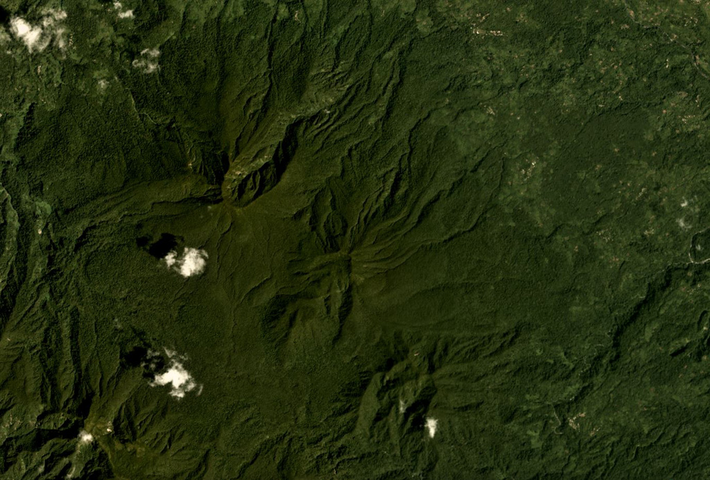
The Takuan volcano group in southern Bougainville Island consists of three closely spaced, NW-SE-trending andesitic-dacitic stratovolcanoes.
Excerpt from the Global Volcanism Program, Smithsonian Institution · Read the full summary on GVP →
From Wikipedia
Takuan Group is a volcanic group located in the southern part of Bougainville Island, Papua New Guinea. It consists of three closely spaced stratovolcanoes and lava cones, Mount Takuan being the highest of them.
Wikipedia · CC BY-SA · Read full article →
Eruption history
GlossaryDetailed timeline
No eruption records available.
Nearby volcanoes
External links
⚠ For reference only. Not for emergency response.