Indonesia · Stratovolcano
Mount Pulosari
Pulosari
- Type
- Stratovolcano
- Elevation
- 1324m
- Last eruption
- Unknown
- Type
- Stratovolcano
- Country
- Indonesia
- Region
- Sunda & Banda / Sunda Volcanic Arc
- Elevation
- 1324m
- Coordinates
- -6.343, 105.978
- Last eruption
- Unknown
- Tectonic setting
- Subduction zone / Continental crust (> 25 km)
- Landform
- Composite
- Major rock type
- Andesite / Basaltic andesite
Geological summary
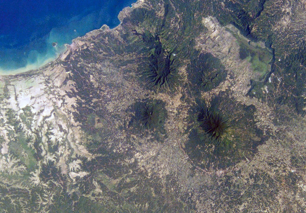
The basaltic-to-andesitic Pulosari stratovolcano at the western end of Java lies south of the 15-km-wide Pleistocene Danau caldera. The summit contains a nearly 300-m-deep crater open to the ENE with active solfataras on its wall. It is SW across a low saddle from the higher Karang volcano, which was constructed on the SE rim of Danau caldera.
From Wikipedia
Mount Pulosari is a stratovolcano in Pandeglang Regency, Banten, in West Java Indonesia. There are active solfataras on its 300-metre (980 ft) deep caldera wall.
Wikipedia · CC BY-SA · Read full article →
Eruption history
GlossaryDetailed timeline
No eruption records available.
Nearby volcanoes
External links
⚠ For reference only. Not for emergency response.