Indonesia · Stratovolcano
Perbakti-Gagak
- Type
- Stratovolcano
- Elevation
- 1726m
- Last eruption
- 1939
- Type
- Stratovolcano
- Country
- Indonesia
- Region
- Sunda & Banda / Sunda Volcanic Arc
- Elevation
- 1726m
- Coordinates
- -6.750, 106.675
- Last eruption
- 1939
- Tectonic setting
- Subduction zone / Continental crust (> 25 km)
- Landform
- Composite
- Major rock type
- Andesite / Basaltic andesite
Geological summary
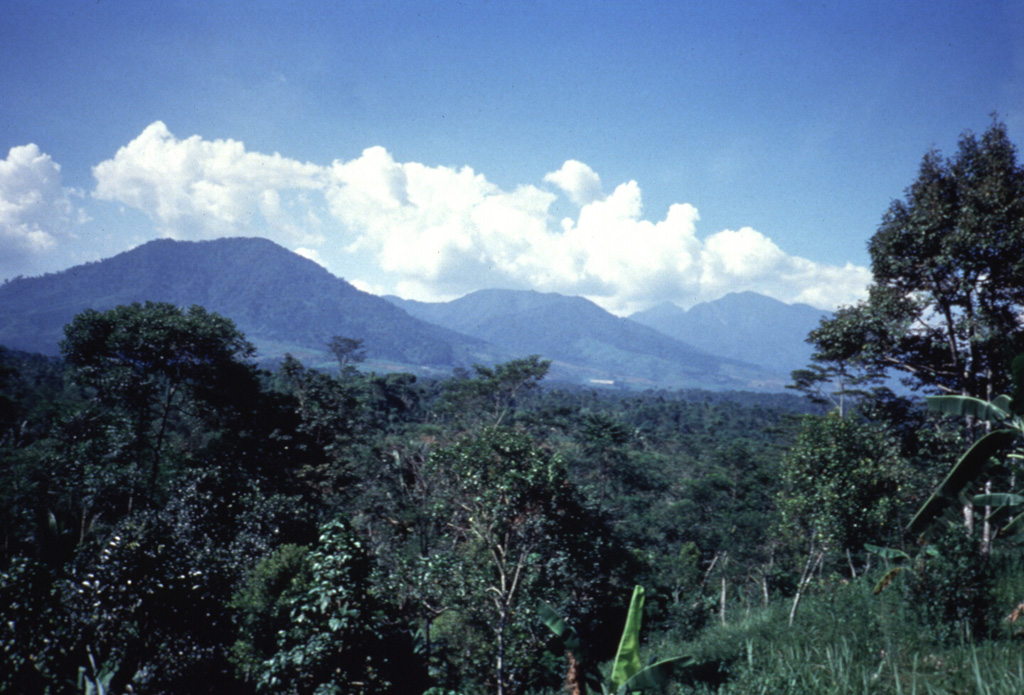
The Perbakti-Gagak volcanic complex, also known as Kiaraberes-Gagak, is a cluster of deeply eroded stratovolcanoes situated immediately SW of Salak volcano. The summit ridge of Gunung Perbakti is elongated in a NW-SE direction, and Gunung Endut volcano rises above a saddle to its SW. Gunung Gagak, to the NW, is capped by pumice and obsidian, with obsidian lava flows extending N and NE. Quaternary rhyolitic lava domes form a NNE-trending chain at the eastern side of the complex. Two 2-km-wide depressions on the northern and southern sides of Perbakti form the headwaters of the Kaluwung Herang and Pamatutan rivers, respectively. The complex is marked by vigorous geothermal activity. Fumaroles, mud pots, and hot springs are located on the S and SE flanks of Perbakti and at the Kiaraberes area, which includes the commercial geothermal field of Awibengkok. Mild phreatic eruptions took place during the Holocene into historical time from flank fumarolic fields.
Eruption history
7 recordedGlossaryDetailed timeline
- 1939VEI 1Observed1939-04-06 – end unknownKawah Parabakti
- 1938VEI 1Observed1938-12-16 – end unknownKawah Parabakti
- 1936VEI 1Observed1936-10-26 – 1936-10-28Cipanas Parabakti
- 1935VEI 1Observed1935-05-31 – end unknownKawah Cibodas
- 1929VEI 1Observed1929-07-02 – end unknownCibeureum West
- 1923VEI 1Observed1923-06-16 – end unknownKawah Cibodas
- 6450 BCEVEI ?Geological estimate6450 BCE – end unknownKiaraberes
Nearby volcanoes
External links
- Not yet on Wikipedia (English). You can contribute on Wikidata.
- Smithsonian GVP source page
⚠ For reference only. Not for emergency response.