United States · Stratovolcano
Dutton
- Type
- Stratovolcano
- Elevation
- 1465m
- Last eruption
- Unknown
- Type
- Stratovolcano
- Country
- United States
- Region
- North America / Aleutian Ridge Volcanic Arc
- Elevation
- 1465m
- Coordinates
- 55.183, -162.276
- Last eruption
- Unknown
- Tectonic setting
- Subduction zone / Continental crust (> 25 km)
- Landform
- Composite
- Major rock type
- Andesite / Basaltic andesite
Geological summary
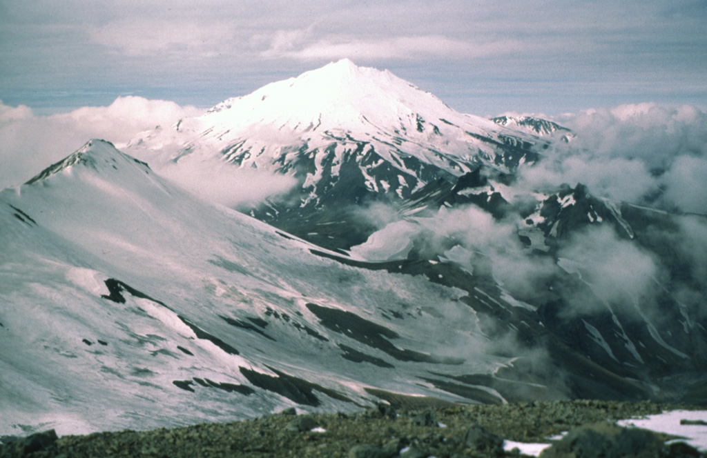
The Mount Dutton volcanic center east of Cold Bay near the tip of the Alaska Peninsula consists of a glacier-covered central lava dome complex.
Excerpt from the Global Volcanism Program, Smithsonian Institution · Read the full summary on GVP →
Eruption history
GlossaryDetailed timeline
No eruption records available.
Nearby volcanoes
External links
- Not yet on Wikipedia (English). You can contribute on Wikidata.
- Smithsonian GVP source page
⚠ For reference only. Not for emergency response.